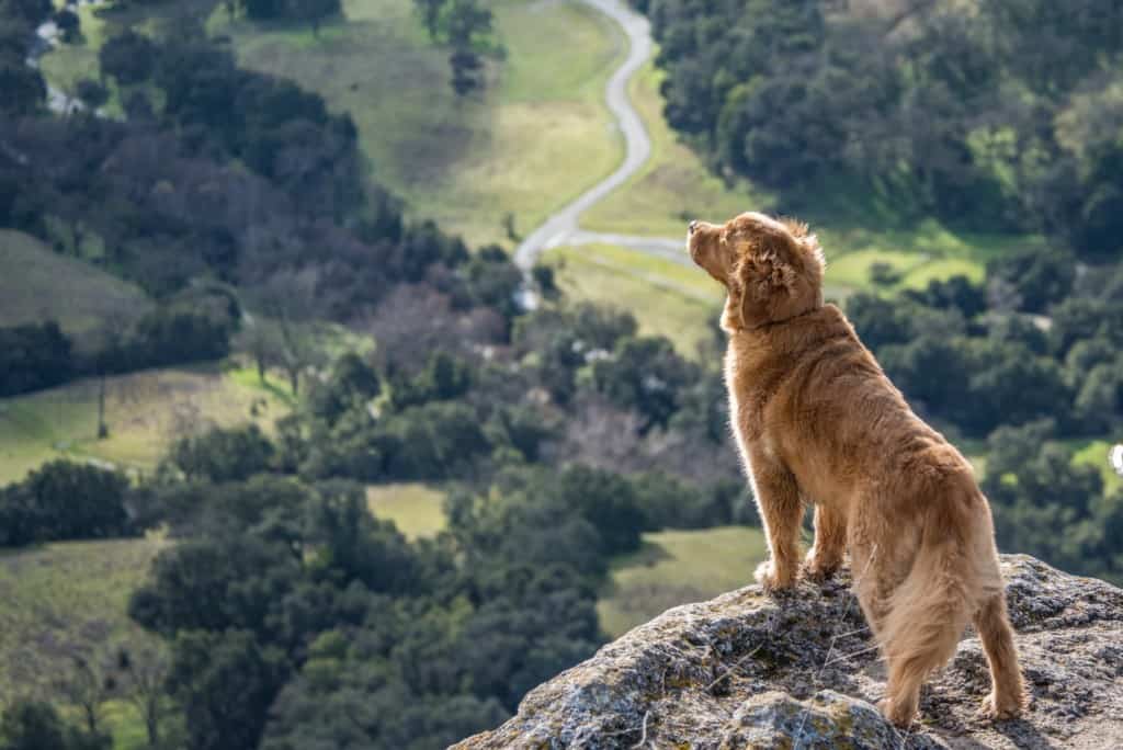

From the Novato Valley, this oak-studded mountain rises 1,558 feet to a summit which offers breathtaking views of the entire Bay Area.
Along the way, visitors pass through lush grasslands and impressive forests that contain some of the finest (and oldest) specimens of oak and bay trees in Marin.
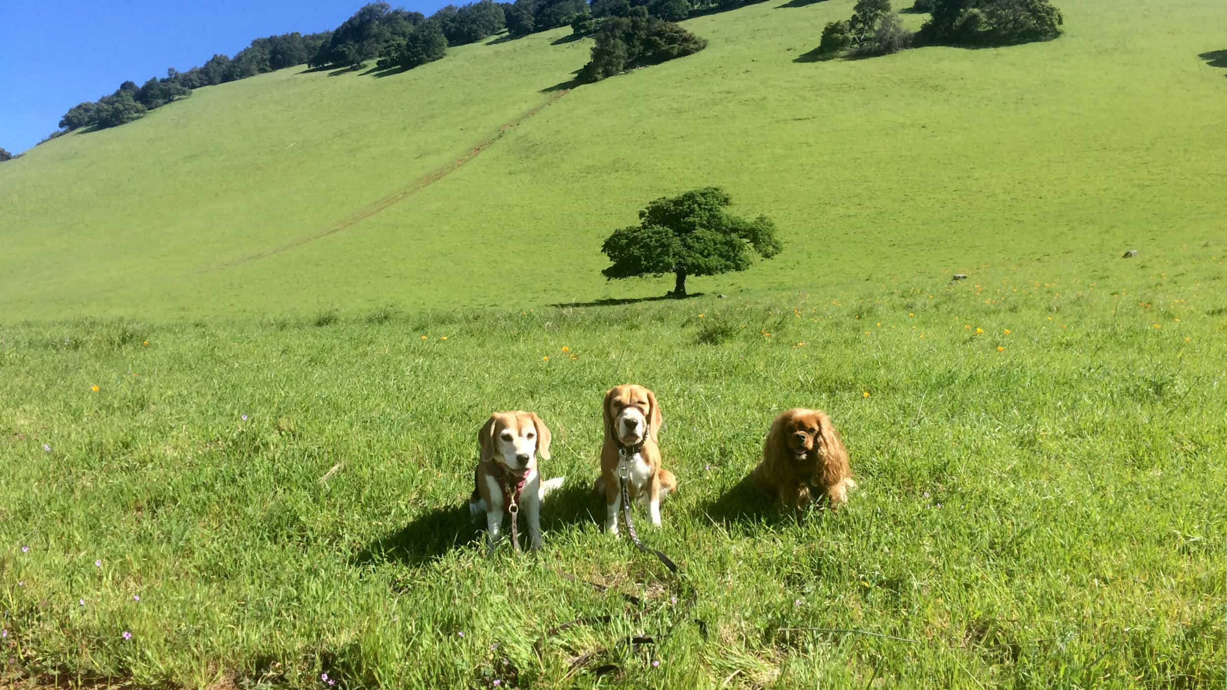
Along the slopes above San Marin Drive there are areas where serpentine soils give rise to rare and unusual plants, as well as fertile grasslands that glow with spring colors during wildflower season.
Hidden Lake, a seasonal pond located about halfway to the top, is home to an assortment of rare plants and is swarming with frogs, salamanders and other creatures during the wet season.
On the western edge of the preserve, a wildlife area is traversed by the Dwarf Oak Trail, a perfect place to enjoy a quiet stroll among wildflowers, shady trees and abundant wildlife.
The dry, open country on the slopes of this mountain is home to many species of birds that are scarce in the rest of Marin.
During a few spring months, certain portions of the preserve are grazed by small herds of domestic cattle. This practice helps to reduce the non-native grasses which have a tendency to overcrowd many native species.
Please be sure to close all gates you encounter to keep the cattle in their proper pastures.
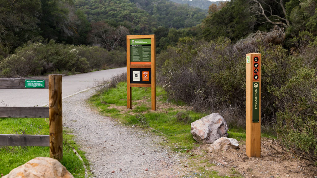
Directions:
• South access: from Highway 101 in Novato, take the exit for San Marin Drive west 2.1 miles. Turn right onto San Carlos Way and follow to end (dead end).
• East access: from Highway 101 in Novato, take the exit for San Marin Drive west, turn right at Redwood Boulevard, turn left at Wood Hollow Drive, and turn left at Fieldstone Drive. Trailhead is on the right.
• West access: from Highway 101 in Novato, take the exit for San Marin Drive west 2.3 miles. Turn right onto San Andreas Drive and follow approximately 0.5 miles. The gate is on the right (before dead end).
• Distance: 5 mile loop with an elevation gain of approx. 1500 feet.
• Degree of difficulty: Moderate
• Best time of year for this hike: Good anytime, although often muddy in winter and early spring.
• Fee: None
• Water: Bring your own