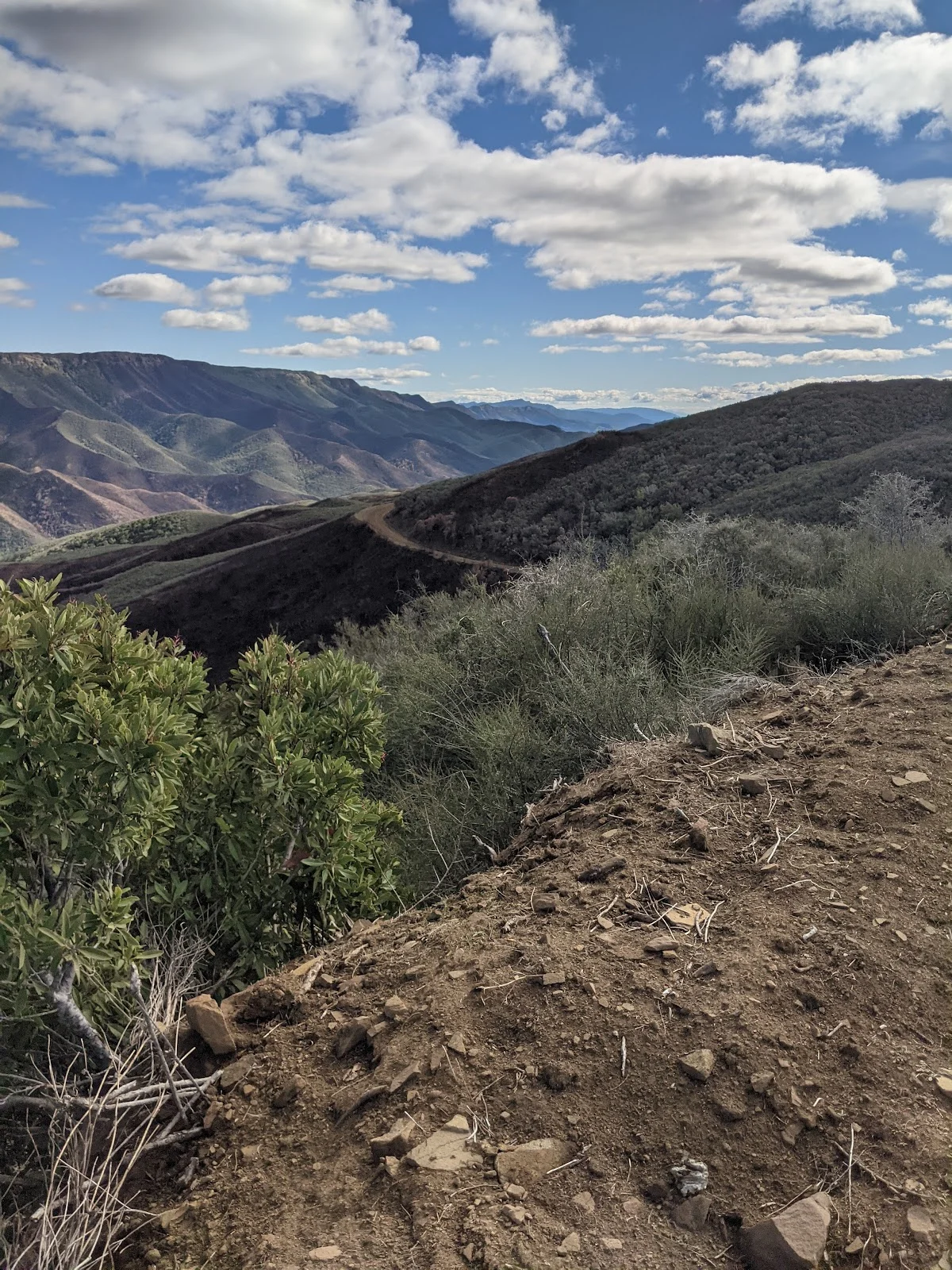
You start out by crossing the low water bridge and turning right, following the road all the way up to the ridgeline. The five-mile climb to the Four Corners at the top delivers what you came for—360 degree views that make the steady incline worth every step. Along the way, you’ll wind through blue oak woodland, chaparral, and grassland while taking in views of the Blue Ridge, Fiske Creek Canyon, and Glascock Mountain. The landscape changes as you climb, and the whole Blue Ridge spreads out beneath you once you reach the top.
At the Four Corners intersection where Lang’s Peak Road, Fiske Creek Road, and Rayhouse Road meet, you have real options. You can turn back the way you came for a solid ten-mile day hike. Or, if you’re planning to stay overnight, you can continue down to Cache Creek via Lang’s Peak Road, head toward Davis Creek Reservoir, or pick up the Fiske Creek Road route to the southern Blue Ridge Trail. These extensions add significant distance, so they’re genuinely two-day adventures.
Getting there from Woodland or Davis, take Highway 16 up the Capay Valley toward Rumsey. The road narrows as it enters Cache Creek Canyon, with the creek running alongside and canyon walls rising up on both sides. Watch for the Cache Creek Regional Park, Lower Site sign on your left—that’s your parking area. It’s one of three sites managed by Yolo County as part of the Cache Creek Regional Park system. Walk down Rayhouse Road past the gate and down to the low-water bridge to start.
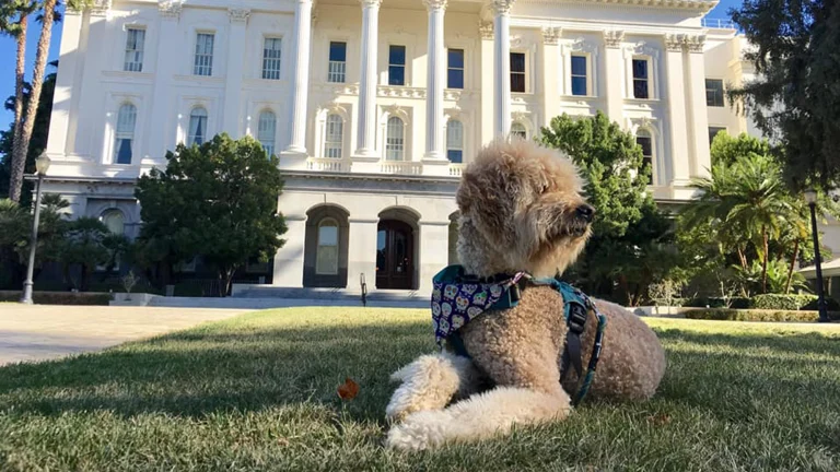
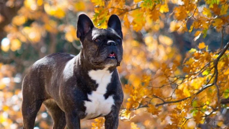
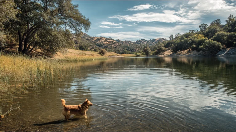
Dogs need to stay on leash throughout, and you’ll need to pack out what they leave behind. The shade is minimal on this route, so an early start makes sense, especially on warmer days. Bring plenty of water for both of you.