The moderate-strenuous walk from Whitewater to the Cottonwood trailhead off the Haugen-Lehmann I-10 exit traverses the eastern boundary of the coastal chaparral community. This trail is 8 miles one way, and most groups leave a car at one end, drive to the other end, and hike back along the full distance.
Leaving the ranger station, head northwest along the marked trail and cross the Whitewater River, reaching the Pacific Crest Trail in half a mile. Turn left and wind up switchbacks for roughly three-quarters of a mile. The terrain here opens up quickly, giving you views of the surrounding ridges and desert landscape. At the top of the switchbacks, turn right at the trail post marked PCT South and head back into the Cottonwood Hills, where the chaparral thickens and provides occasional shade on warmer days.
Two miles further along, you’ll cross the top of Toutain Canyon where springs keep things slightly greener and you might spot wildlife coming down to water. From there, climb more switchbacks before hitting the long downhill stretch on the Pacific Crest Trail through Golden Canyon. This section offers the most relief on the way out, and your dog will appreciate the easier pace as you descend toward the trail head parking lot off the Haugen-Lehmann exit on Interstate 10.
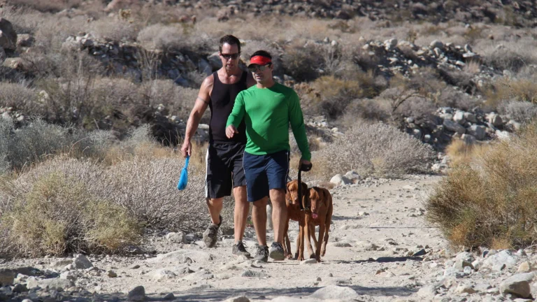
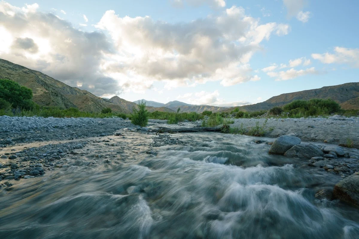
The trail doesn’t have dramatic elevation changes all at once, but the cumulative climb and distance mean you’ll want to bring plenty of water for both of you. Start early to beat the heat, especially in summer—that open chaparral offers almost no shade during midday. The Whitewater River crossing at the start is usually manageable, though it can run higher during spring snowmelt. Sturdy paws help on the rocky sections of the upper trail.