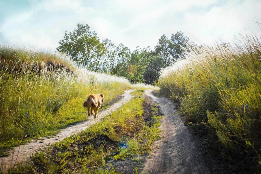

![]() Coal Creek is an ideal place for a quick afternoon hike with one’s dog. Several trails can be combined to create a pleasant two- or three-mile loop.
Coal Creek is an ideal place for a quick afternoon hike with one’s dog. Several trails can be combined to create a pleasant two- or three-mile loop.
Views of the San Francisco Bay Area can be seen from the open grassland ridges below the Caltrans vista point parking area.
The preserve’s five miles of trails provide important trail connections between Skyline Boulevard and Alpine Road for hikers, bicyclists, and equestrians.
Maps of trails are available for download on website listed above.
• Length: 3 miles
• Difficulty: Easy
• Open to: Hikers, dogs on leash, equestrians, bicyclists