Distance: 8 miles round trip. Elevation: 1,157 ft. Difficulty: Easy. Time: 3 hours approximately.
Start at Briceburg Bridge, where you’ll cross a one-lane metal-and-wood bridge spanning the Merced River. Once across, turn right and head down toward the small dirt parking area on the far right side. You’ll spot an open gate marking the actual trailhead — this is where you want to be. The trail to the left heads up the Burma Grade and goes the wrong direction.
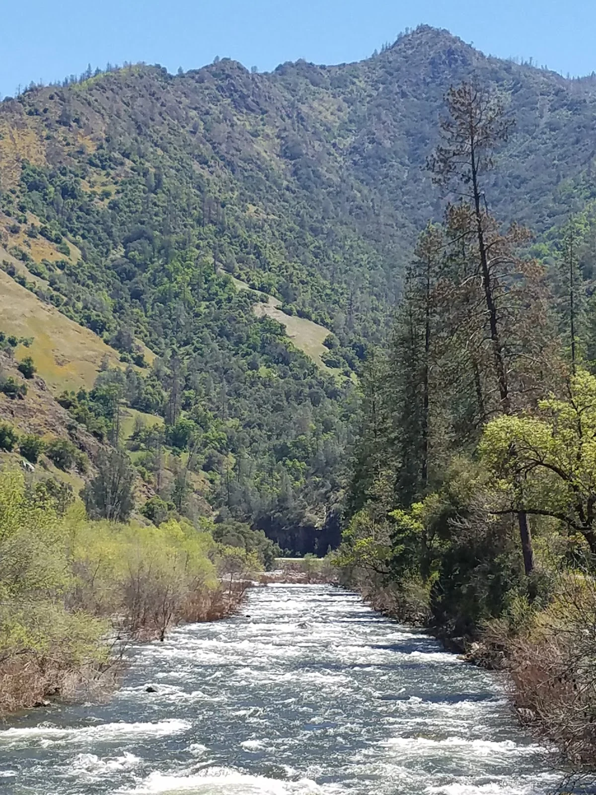
The path you’ll take parallels the Merced River, heading northeast toward Yosemite on what was originally a railroad bed built to carry passengers to and from El Portal near Yosemite. The rails and ties are long gone, though you can still see part of the turntable at El Portal if you drive Highway 140 toward Yosemite later and follow signs to the El Portal post office.
About three miles in, look to your right for the faint remains of Slate Creek Bridge, built in 1926. This is where Slate Creek crosses your path, and if water’s flowing, you’ll need to rock hop across. The landscape here opens up nicely, and the river stays visible through most of the hike.
The turnaround point sits roughly four miles from the start, marked by a Sierra National Forest sign on your right, visible just past Sweetwater Creek Bridge on the far side of Highway 140. Don’t push beyond this — it’s your signal to head back.
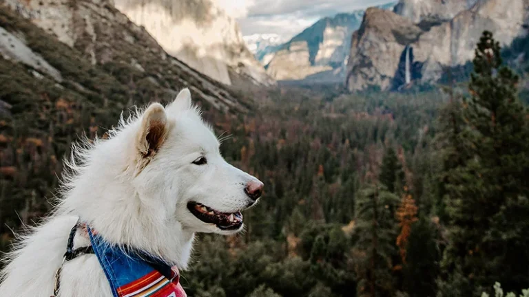
On the return trip, navigating is straightforward: watch for the last hill in the range ahead, and once you’re near it, Briceburg Bridge becomes visible. That’s your cue that the parking area is close. The trail is shady in spots and open in others, giving your dog variety. Bring water — there’s the river, but you’ll want your own supply for reliable drinking.