The Brockway to Watson Lake trail is a 13.4-mile round trip from the Brockway trailhead on Highway 267, about 0.5 miles south of the summit. It’s a strenuous hike, but there’s a shortcut option if you’re not up for the full distance. The trail opens to mountain bikers, hikers, and equestrians, so stay alert and yield appropriately when you encounter other trail users.
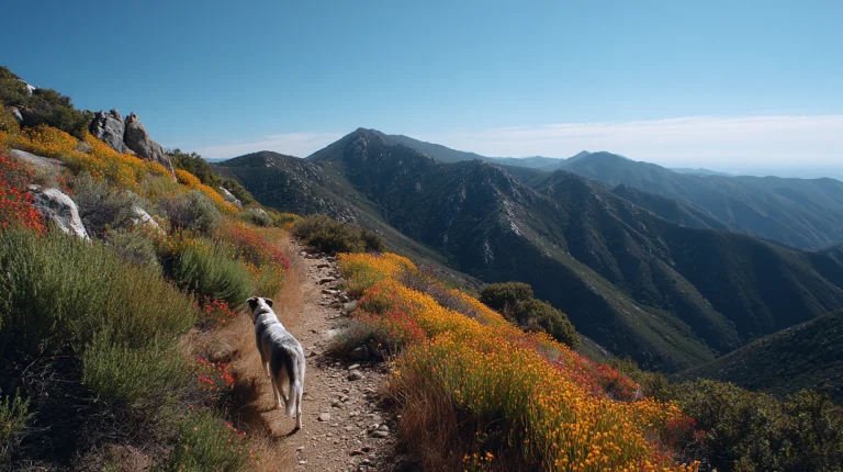
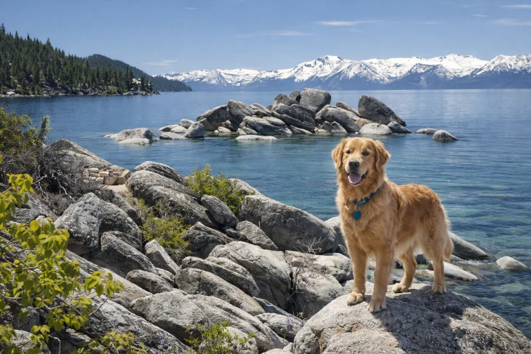
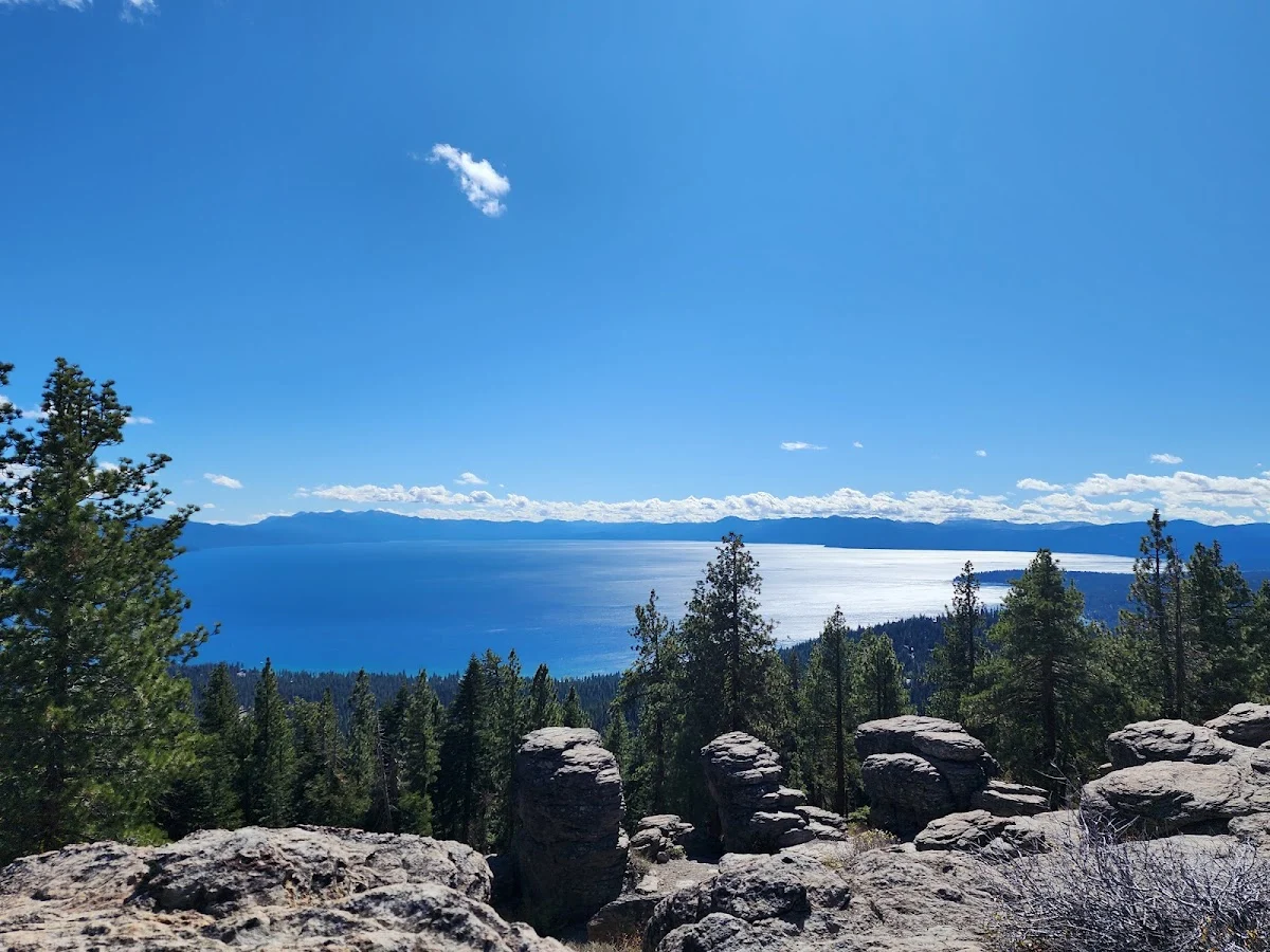
The first 4.5 miles move through gentle ups and downs under a canopy of white fir and Jeffrey pine. This section feels manageable even for dogs still building endurance. You’ll cross several forest service roads, including FSR 73 (the Fiberboard Freeway), so pay attention at each junction to stay on the actual trail rather than wandering onto a service road. After 4.5 miles, watch for a short 90-yard spur trail on your left side leading to a large rock pile with genuinely spectacular views of Lake Tahoe. It’s worth the detour.
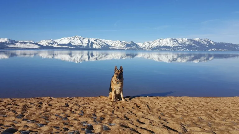
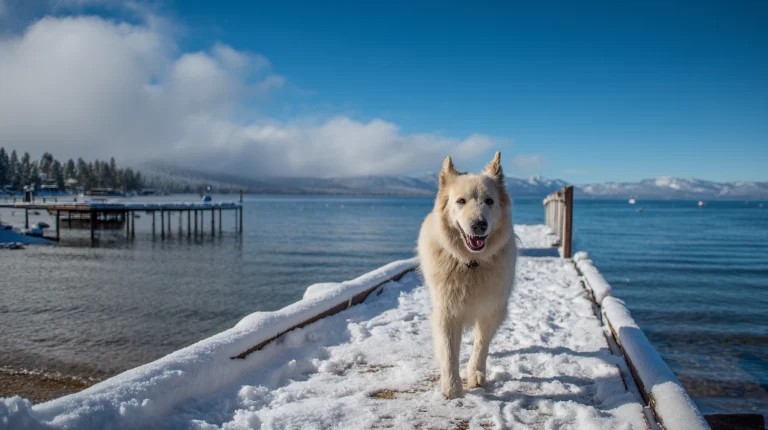
From there, the next 2.2 miles climb gently through wildflower meadows and forested sections. You’ll pass several streams along the way before reaching Watson Lake itself. The alpine setting is peaceful, and it’s a nice reward after the uphill work. Spend some time here before heading back the way you came.
Here’s the practical part: you can actually drive to Watson Lake, which opens up options. If you have two cars, you can leave one at the lake and do a one-way hike from Brockway, cutting your distance nearly in half. This works well for dogs who struggle with full round-trip distances or if you want a less strenuous outing but still want that lake destination. Either way, this trail delivers real elevation and real views without feeling overly technical.