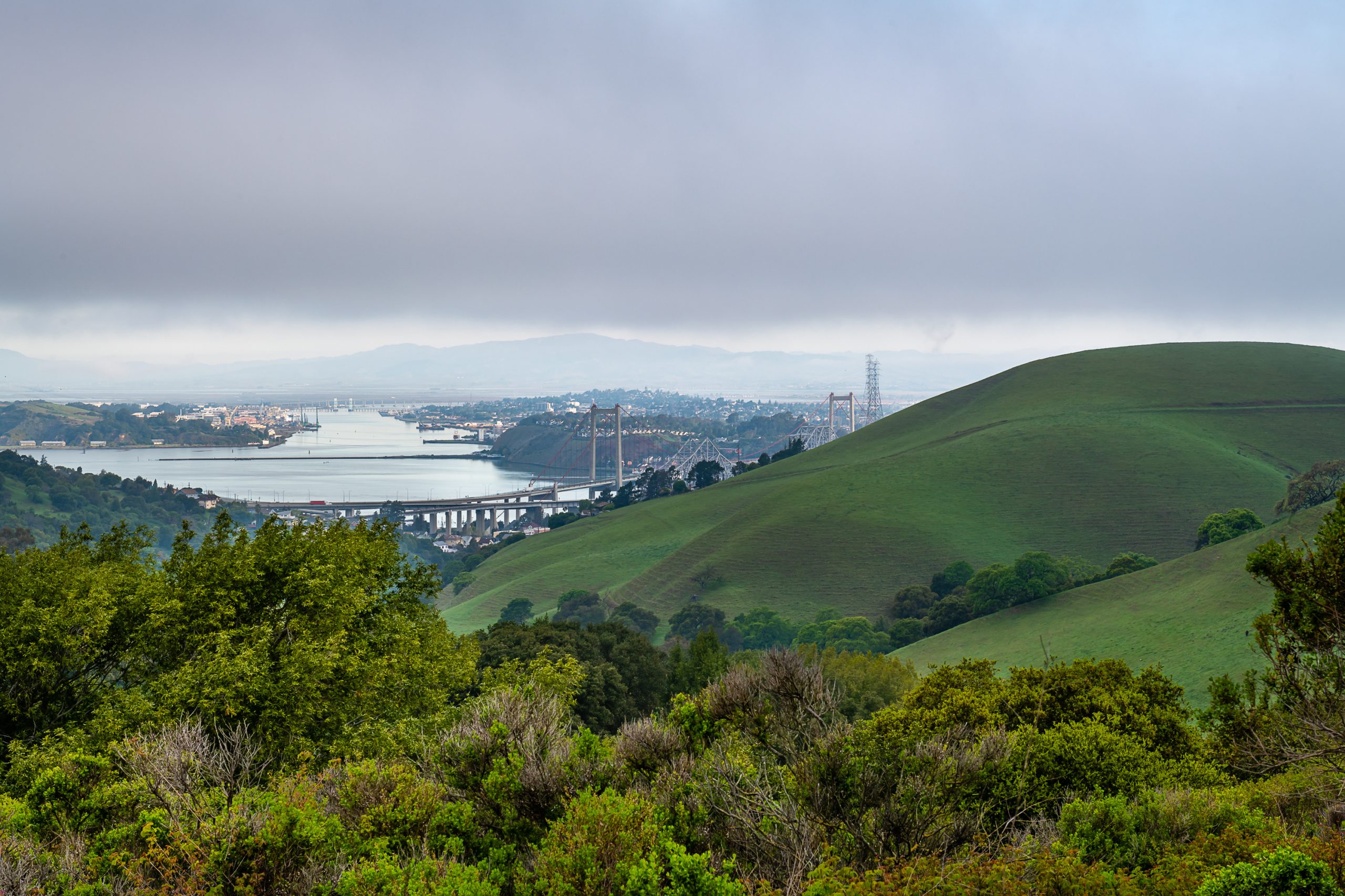
Part of the East Bay Regional Park District, the 1,939 acres of Crockett Hills Regional Park were likely hunting and gathering grounds for Native Americans, later were nineteenth century ranchlands, and more recently were part of the industrial history of the region.
The original ranch barn, milkhouse, and corrals can still be seen in the Crockett Ranch staging and picnic area. The park ranges in elevation from 150-800 feet, offering views of San Pablo Bay, the Delta, Mount Tamalpais, and Mount Diablo. Trails include a 4.5-mile segment of the Bay Area Ridge Trail.
Hiking, running, biking, dog walking and horseback riding are some of the popular activities in the park. There are picnic tables at the Crockett Ranch Staging Area.
Directions:
• From I-80 in San Francisco, take I-80 east toward Oakland. Exit #27 toward Port Costa/Crockett. Turn left on Pomona Street. Turn right onto Crockett Blvd. and right again into staging area.
• From I-80 in Sacramento, take I-80 west toward San Francisco. Take the Pomona Street exit at Crockett. Turn right onto Crockett Blvd. and right again into staging area.
• From Hwy. 4 west, take the Vallejo/Crockett exit onto Cummings Skyway. Turn right on Crockett Blvd and left into the staging area.

