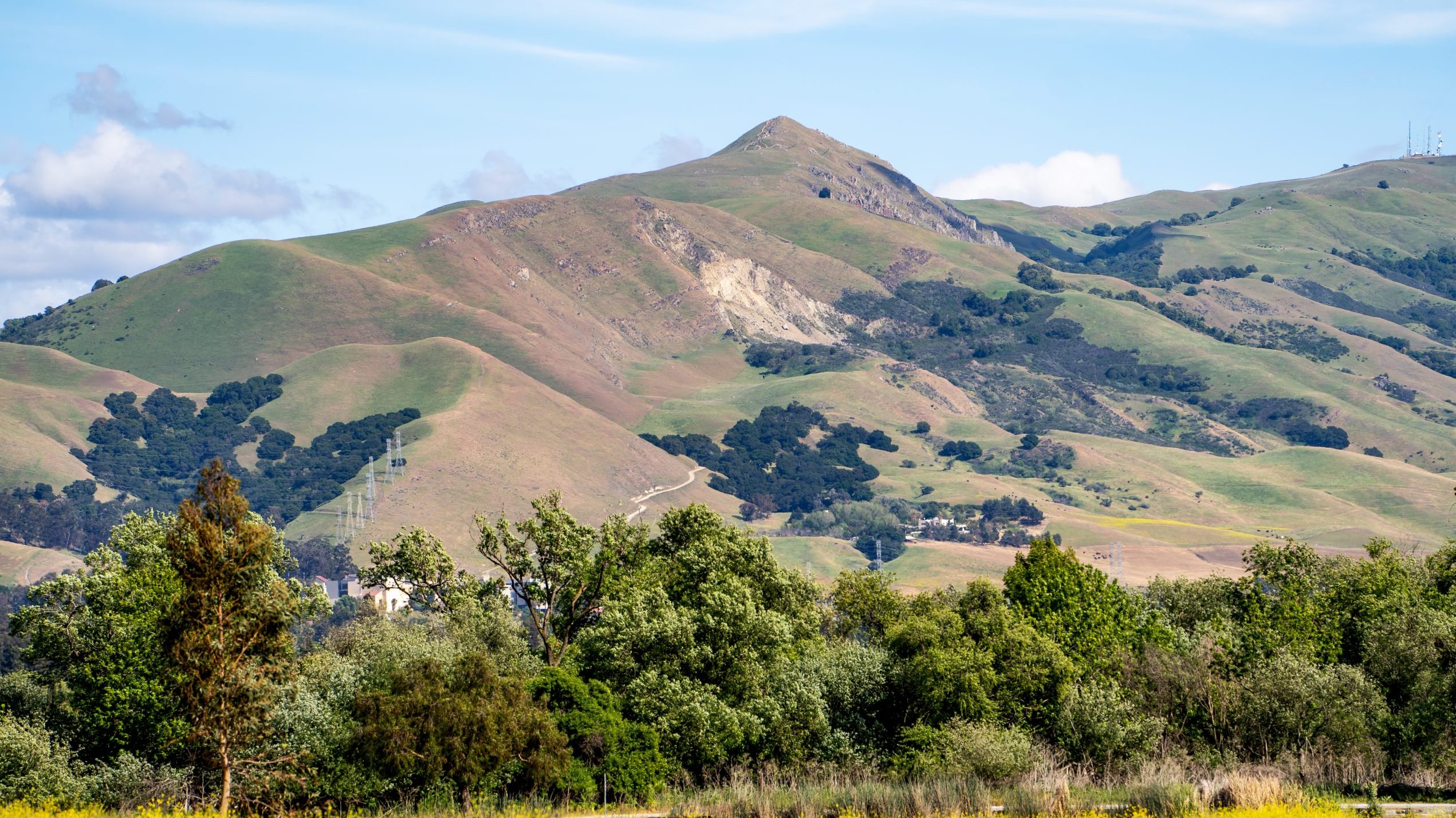
Rising steeply to the east behind the city of Fremont, Mission and Monument peaks form a dramatic backdrop to the South Bay, part of the East Bay Regional Park District,
Mission Peak has been described as one of the Bay Area’s most underrated summits. The determined hiker who reaches its top will be rewarded with views of Mount Hamilton to the south, the Santa Cruz Mountains to the west, Mt. Tamalpais to the north, and Mt. Diablo and the Sierra Nevada to the northeast.
About five hours are required to reach the summit and return. Mission Peak’s 2,999 acres are accessible from a staging area at the east end of Stanford Avenue in Fremont (steep climb to the summit), or from parking lots at Ohlone College (more gradual ascent). There is no access from Mill Creek Road.
A regional trail also leads from Mission Peak two miles south to Monument Peak, then on into Ed Levin County Park in Santa Clara County. Besides linking Santa Clara to Alameda County, the trail is a section of the Ridge Trail being developed to encircle San Francisco Bay.
Hiking, biking, dog walking and horseback riding are popular activities available in the Regional Preserve.
• Dogs welcome. Please keep a leash on you at all times. Please pick up after your dogs.
• Park Hours: 7 a.m. to dusk
• Parking Fee: $3 per vehicle; $3 per trailered vehicle.
• Dog fee: None
Please note: Be mindful of changing weather conditions and be prepared for sudden changes in temperature and precipitation.

