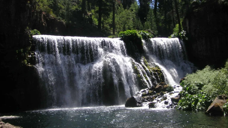
The Park is located in eastern Plumas County within a quarter of a mile of downtown Graeagle, at approximately 4500 feet elevation in the high sierra. You’ll recognize it on arrival by the stagecoach and sign out front. The elevation means your visit will most likely be several degrees cooler than home—a real relief if you’re coming from lower elevations in summer.
A lot of campers use GPS to find the site, and there’s a good reason for that. If you type in 305 Johnsville into your GPS, you’ll end up about five miles past the location at a dead end in the town of Johnsville. While Johnsville is genuinely worth visiting as a gold mining town, arriving there at nine o’clock on a Friday evening after work and realizing you’ve overshot isn’t the welcome you’re hoping for. The coordinates that work are N 39°45.960 W 120°37.062. The park sits 60 miles northwest of Reno, 25 miles east of Quincy, and 47 miles north of Truckee. From Highway 70 and 89, head 1 mile south to County Road A-14, then right .25 mile.
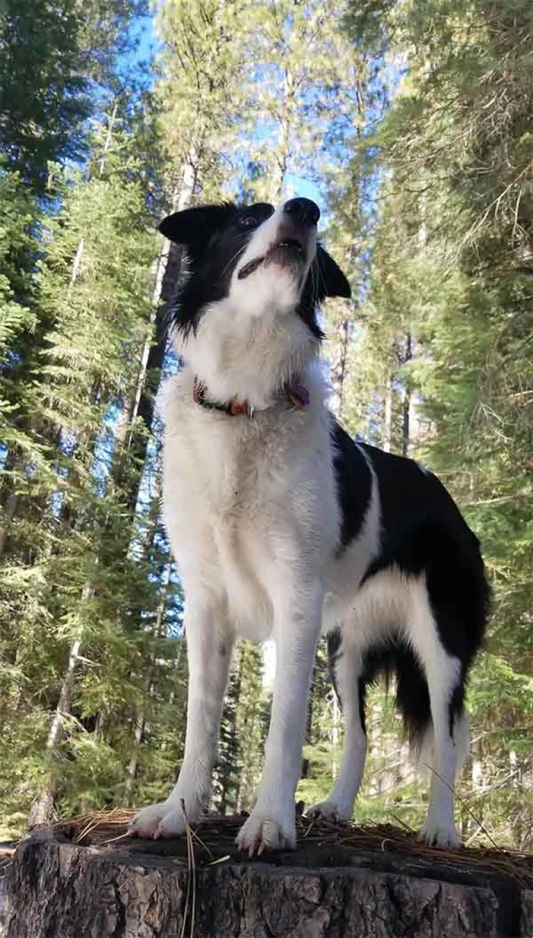
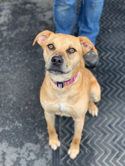
Dogs are welcome here if kept on leash or confined to your campsite at all times. It’s your responsibility to clean up after your dog using the bags and waste receptacles provided near the dog walk areas. Your dog can’t be left unattended at the campsite, and you’ll want to keep any barking under control out of consideration for neighboring campers. The high sierra setting means cooler nights and relief from heat, plus you’re close enough to downtown Graeagle’s restaurants and shops that you don’t feel completely remote. The proximity to both Highway 89 and 70 makes it a practical base for exploring the area without having to pack up and move every few days.