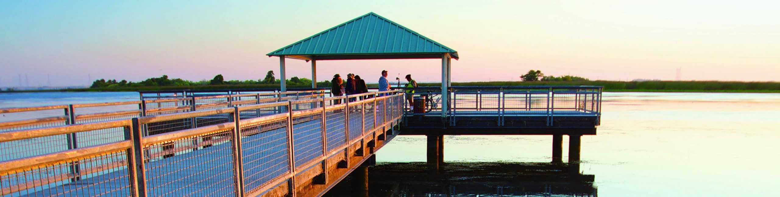
Big Break Regional Shoreline, part of the so-called “Inland Coast” at the mouth of the massive San Francisco/San Joaquin river estuary, was once a massive farm, now submerged. It is now part of the East Bay Regional Park District.
Most park users come simply to enjoy cool marine breezes in summer. Bass fishing is the most popular recreational activity, but hikers, bikers, dog walkers and equestrians can explore along the Big Break Regional Trail, which runs along the park’s southern edge.
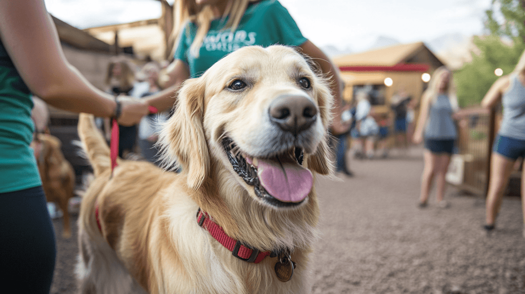
Dogs must be leashed and stay on the trail, but that shouldn’t inhibit your enjoyment of this off-the-beaten-track slice of shoreline.
The Big Break Regional Trail connects to the northern end of the Marsh Creek Regional Trail, providing access to Brentwood and Oakley. The Marsh Creek Regional Trail connects to the Delta de Anza Regional Trail via West Cypress Road, providing access to Oakley, Brentwood, Antioch, Pittsburg and Bay Point.
The park district’s newest visitor center is in the area of the park accessible from Big Break Road.
Dogs must be leashed and stay on trails when visiting this park. Please pick up after your dog!
Directions:
• Getting there from the west: (Walnut Creek, Oakland) – From Interstate 680 northbound, transition onto Highway 242 towards Concord/Pittsburg, then Highway 4 eastbound towards Stockton/Pittsburg. Take right exit 30 toward Highway 160/Sacramento//Rio Vista (just past Hillcrest Avenue Exit; do NOT continue straight on Highway 4), Merge onto 160; Take exit 1-A East 18th/Main Street (first exit on Highway 160), Turn right (east) at the bottom of the exit onto Main Street; proceed east a little over 1 mile, Turn left onto Big Break Road; Turn right just past the last houses on the right into Big break Regional Shoreline.
• From Highway 4 East through Antioch (e.g. from Hercules) – LANDMARK: Hillcrest Avenue Exit, Take right exit 30 toward Highway -160/Sacramento//Rio Vista (just past Hillcrest Avenue Exit; do NOT continue straight on Highway 4), Merge onto 160; Take exit 1-A East 18th/Main Street (first exit on Highway 160), Turn right (east) at the bottom of the exit onto Main Street; proceed east a little over 1 mile, Turn left onto Big Break Road; Turn right just past the last houses on the right into Big break Regional Shoreline.
• From Livermore – Take Vasco Road North toward Brentwood, Vasco Road becomes Highway 4 Bypass, Continue past Lone Tree Way Exit, Take Laurel Road Exit, Right on Laurel Road, Left on Empire Avenue, Left on Main Street, Right on Big Break Road, Turn right just past the last houses on the right into Big Break Regional Shoreline.