The hike starts at the parking area at the headwaters of Fiske Creek and climbs about 200 feet up to the ridge. Once on the ridge, follow the ridgeline north until you get to Fiske Peak. The ridge itself is rolling and pretty easy walking once you’ve made that initial climb. If you only want to go to Lowrey Peak it’s about a 3 mile round-trip from the parking area. To reach Fiske Peak and return is closer to 8 miles, which gives you a full day out there.
Getting here requires some navigation, but it’s worth the effort. From Woodland or Davis, take Highway 16 up into the Capay Valley. Once you pass Rumsey, the road narrows as it enters Cache Creek Canyon — you’ll be driving with the creek on one side and canyon walls towering on the other. When you spot the Cache Creek Regional Park sign on your left, turn into the Lower Park site, one of three day-use areas that Yolo County manages along Cache Creek.
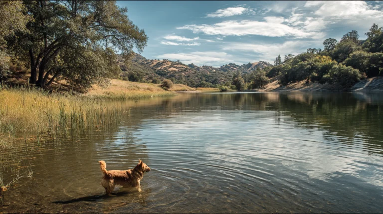
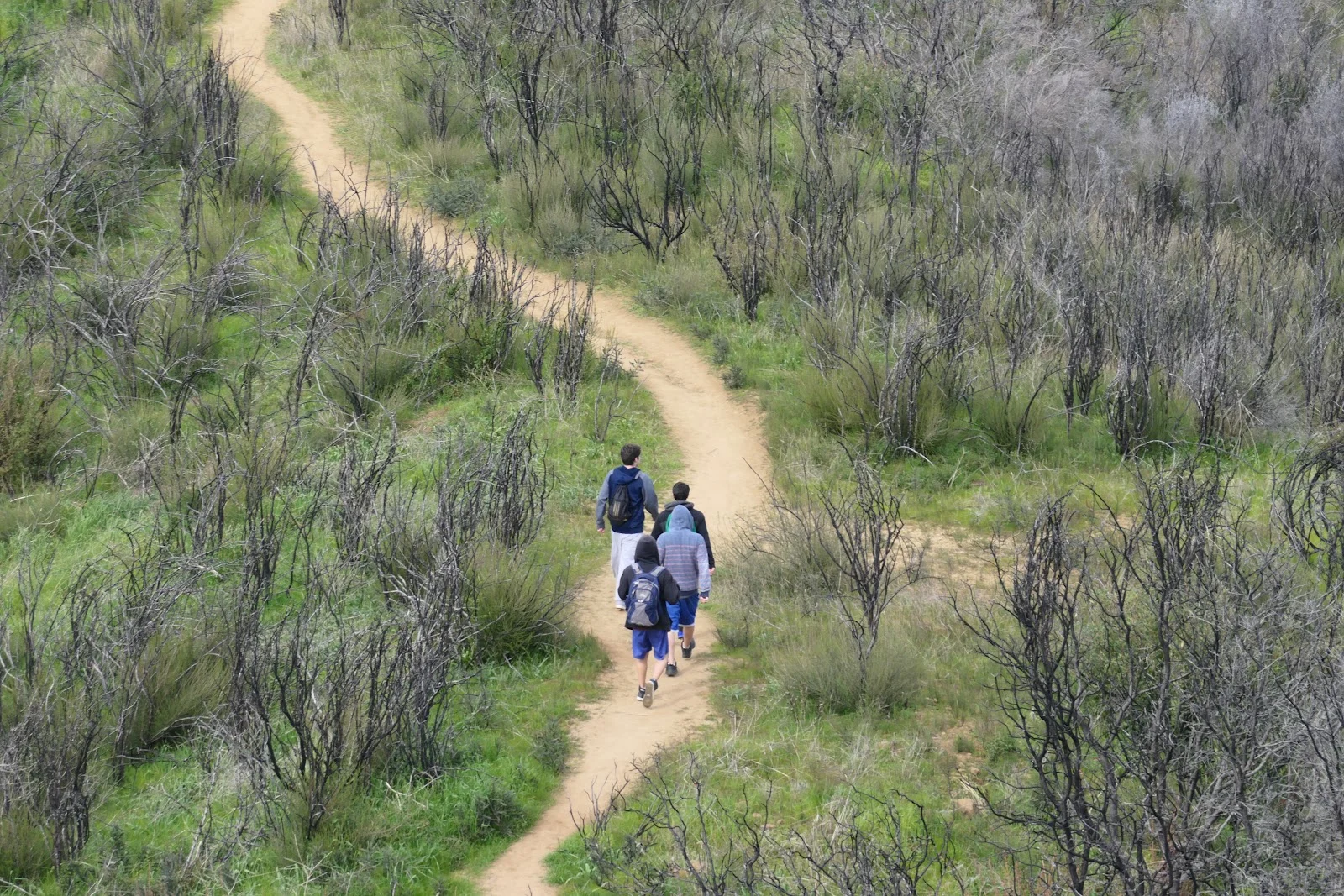
There’s a nominal day-use fee if the park is open. During closed seasons, you can park at dirt pullouts along Rayhouse Road. From the main parking area, walk down Rayhouse Road past the gate and across the low water bridge, then continue until you reach a saddle with a Bureau of Land Management sign at a 4-way intersection. Turn left and keep going until you reach the gravel parking area at the base of Blue Ridge where Fiske Creek originates — this is where the south trail begins. The exposed ridgeline offers views across the surrounding terrain, and the hike is quiet enough that you’ll likely see wildlife moving through the chaparral. Bring plenty of water since there’s no shade up on the ridge itself, and check road conditions before heading out since Rayhouse Road occasionally closes due to maintenance issues.