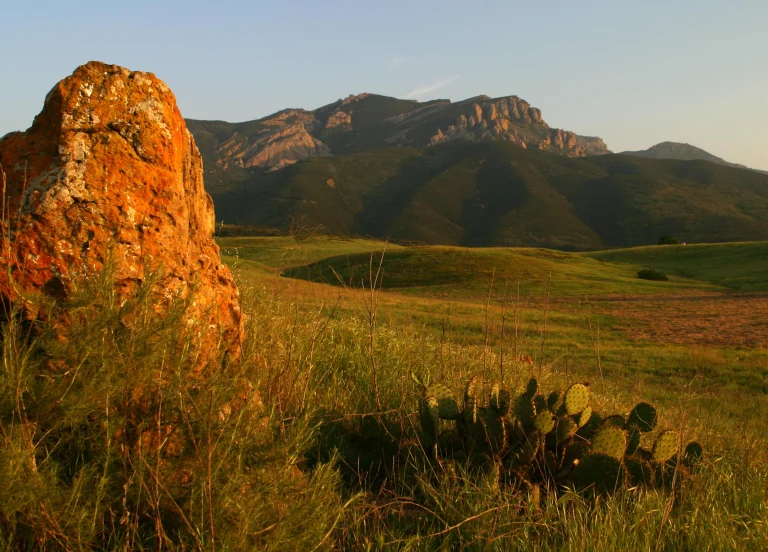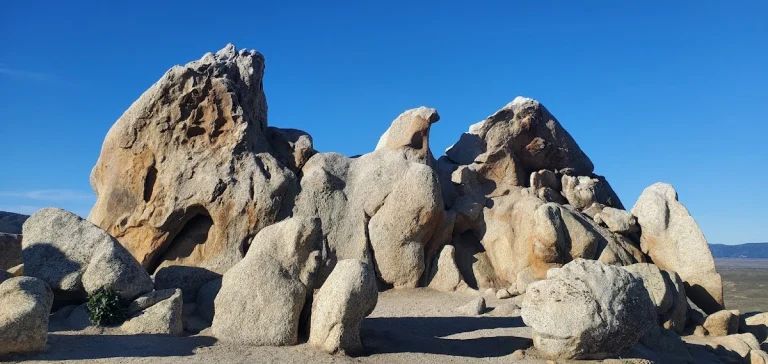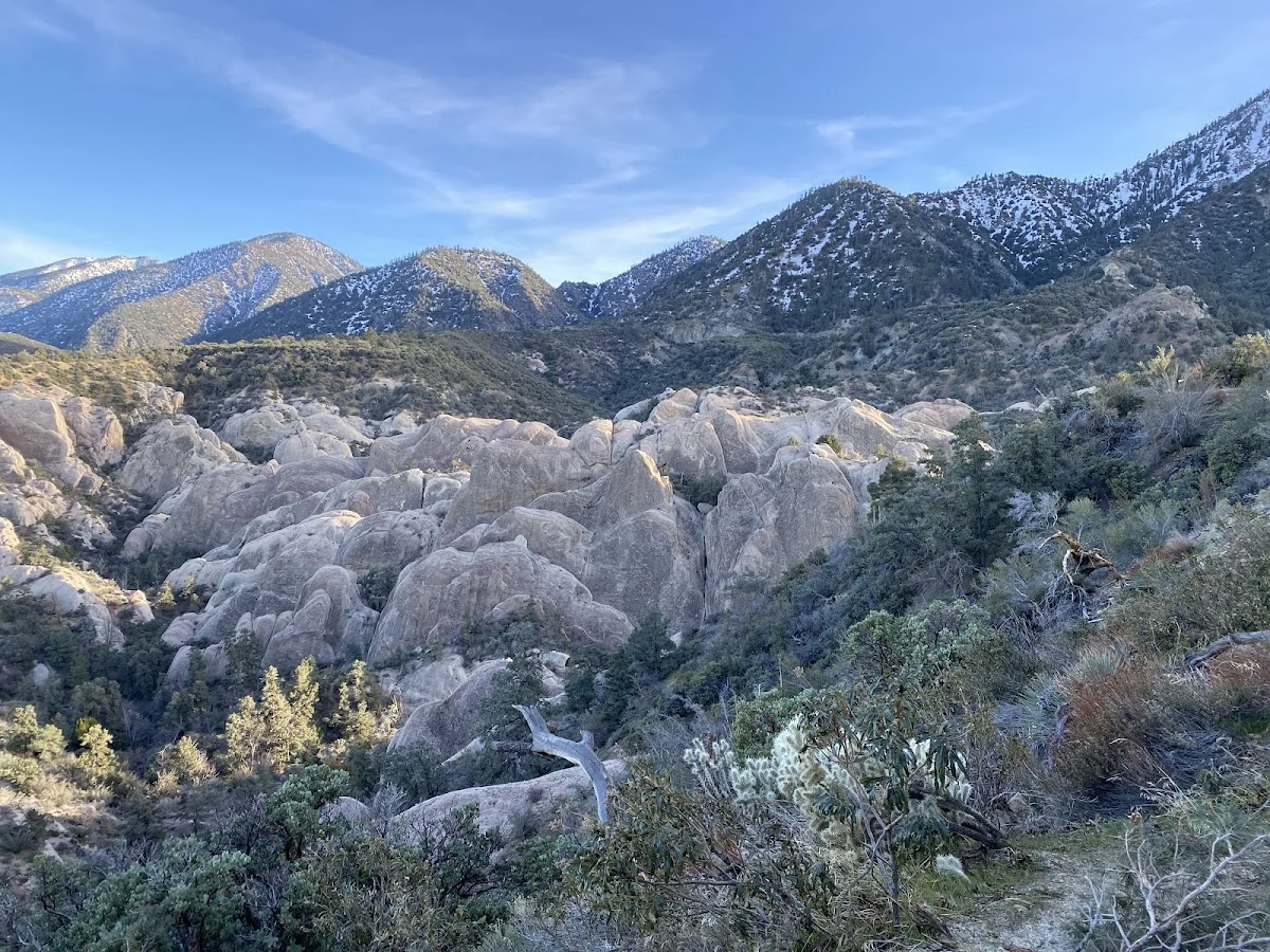
Devil’s Punchbowl, elevation 4,750 feet, is a tilted sandstone formation in Los Angeles County that looks exactly like its name suggests—massive slabs of rock pitched at wild angles, revealing the geological drama of the San Andreas Fault up close. The park sits within Angeles National Forest on the northern slopes of the San Gabriel Mountains, near Littlerock and Pearblossom, about an hour and a half north of Los Angeles proper.
The short trails here do something most hikes don’t: they let you actually see and walk along the fault line itself. The Punchbowl and San Andreas Fault features are right there in the rock formations, making it clear why geologists find this place so significant. It’s not just a scenic walk—you’re literally standing on evidence of the earth’s structure. The trails are manageable in length, which means you won’t spend your whole day hiking and can really take time to look at what’s around you.
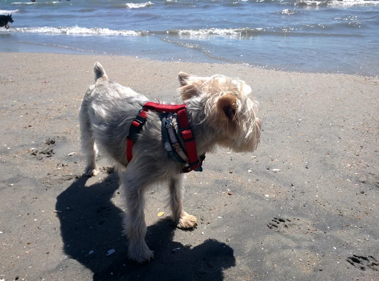
If you want to go longer, the park connects to major trails that head into the high country, so you can extend your visit as much as your dog’s energy allows. The area opens at sunrise and closes at sunset daily, so plan for daytime visits. Dogs need to stay leashed throughout—the terrain is steep enough that having full control matters for both your dog’s safety and the wildlife’s peace.
There’s no camping at the Punchbowl itself, but if you want to make a weekend of it, several Forest Service campgrounds are scattered nearby. The Angeles National Forest Service Station has details on those options and can tell you about water access and other facilities in the area. The drive up gets you into real elevation and cooler temperatures fast, which dogs appreciate when you’re coming from the valley heat.