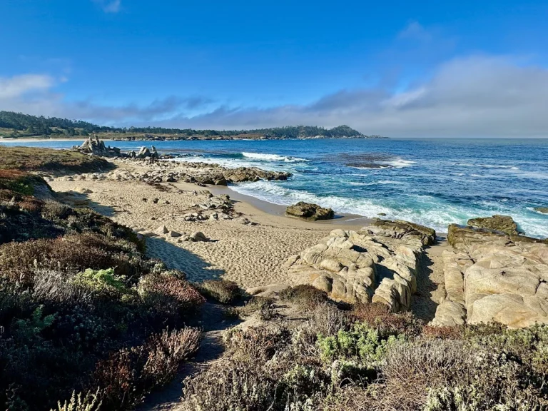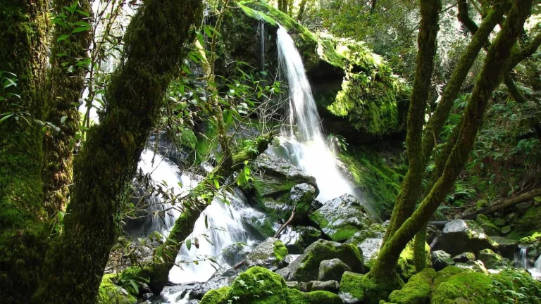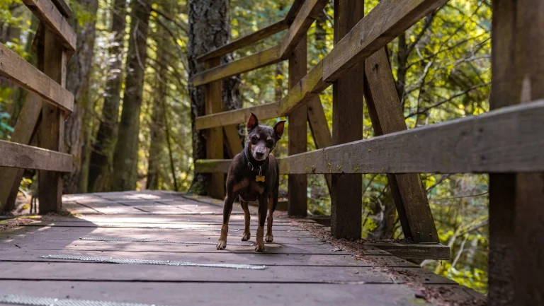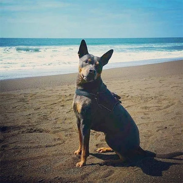
Loma Alta Open Space, located in the charming town of Fairfax, Marin County, offers a genuine outdoor escape for dog owners seeking adventure in nature. This expansive 509-acre preserve features a variety of trails that welcome leashed dogs, making it an excellent choice for a day of hiking with your dog. The trails meander through picturesque landscapes, including grass-covered slopes and stunning ridge lines, providing breathtaking views of Marin County’s diverse watersheds.
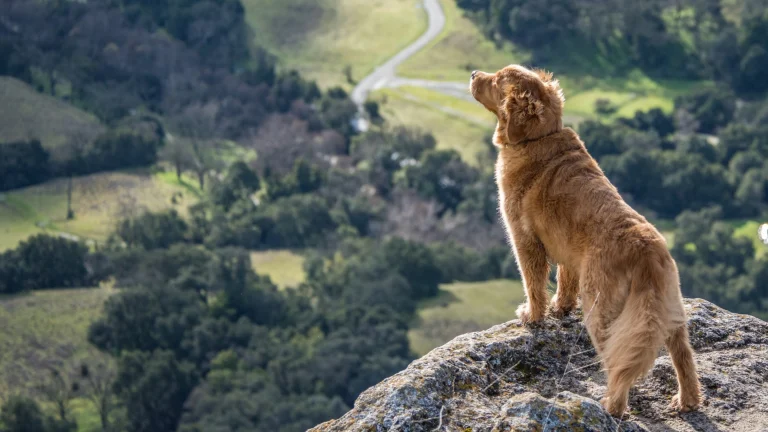
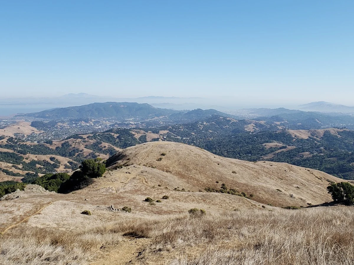
With a peak elevation of 1,592 feet, the summit offers a rewarding vista that you and your pup will appreciate after a satisfying trek. One of the highlights here is the flexibility it offers dog owners. While dogs must be leashed on most trails, you can let your dog roam freely under strict voice control on designated fire protection roads. This unique aspect allows your dog to enjoy some freedom while still being within your sight.
The Old Railroad Grade Fire Road runs along the lower perimeter of the area, providing an easy walking path suitable for all skill levels. This makes it an ideal location for families with dogs of varying ages and energy levels. The scenic drive itself is part of the experience, leading you through the beautiful Marin landscape as you head toward the preserve.
As you prepare for your visit, consider packing some water and snacks for both you and your dog, as there are no facilities within the preserve. The trails can get warm and exposed in summer, so morning visits tend to work better. Getting to Loma Alta is straightforward, with access points from both the east and west sides of town. The landscape opens up considerably as you gain elevation—you’ll move from wooded areas into more exposed ridge sections where the views really kick in. On clear days, you can see across multiple valleys and ridgelines that make the climb worthwhile. Bring along your dog’s favorite leash and some extra water, and you’ll have a memorable day of exploration.