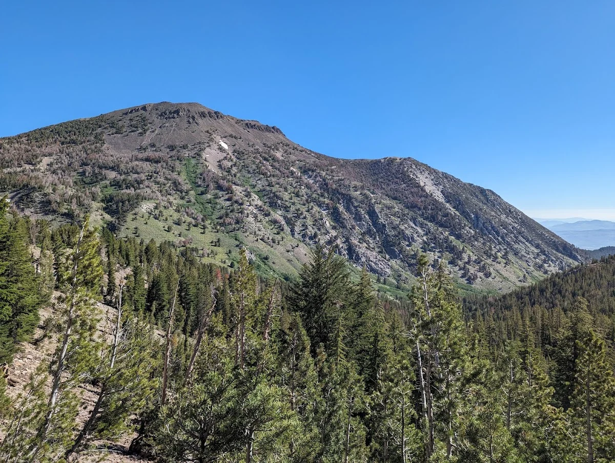
This 5-6 mile round trip loop on the north side of Highway 431 at the Mt. Rose summit is built for hikers and equestrians—mountain bikes aren’t allowed since part of it crosses wilderness land. The trail completed in 2004 works well as a day hike, especially if you’re already in the area exploring the Mt. Rose-Ski Tahoe resort or heading over the pass.
Starting at the Mt. Rose trailhead, you’ll climb gently up a sandy slope for about a mile with views that open up as you go. The terrain gets greener the higher you climb, and you’ll pass a splendid waterfall that’s usually running strong in spring and early summer. This is where most people stop for photos and water breaks.
Right after the falls, the trail splits. The key is following signs for the Tahoe Rim Trail, which bears left and eventually connects to an old forest service road. This is a nice transition point—the single track ends and you’re on a wider dirt road for the descent. From here, you get steady views of the lake as you head downhill, which makes the return trip feel faster than the climb up.
When you get close to Highway 431 again, watch for a connector trail that loops you back to the parking area. The whole route is straightforward if you’re paying attention at that fork after the waterfall. Conditions vary significantly by season—the sandy slope can be tough and loose in summer heat, but the shade under the tree cover in the second half helps. Spring brings more water in the creek and that waterfall, while fall offers fewer crowds. Bring extra water regardless of season, since there’s limited refill opportunities once you’re on the forest service road.