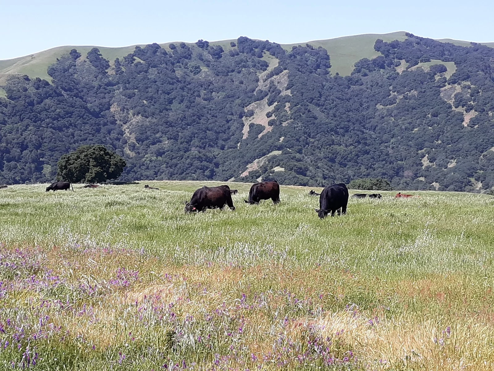
Pleasanton Ridge Regional Park sprawls across 5,271 acres of oak-covered ridgeline with views that stretch across the Sunol, Pleasanton, and Livermore valleys. The main staging area on Foothill Road is where most people start, and from there the trail system opens up in different directions depending on what kind of outing you want.
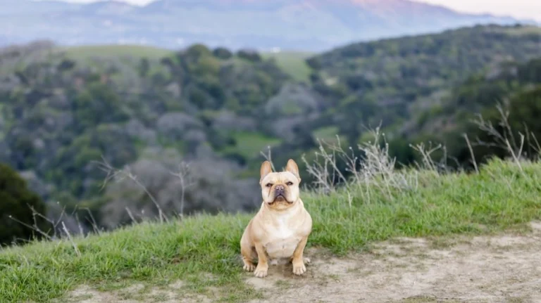
The Ridgeline Trail delivers those panoramic views everyone talks about—you can actually see across multiple valleys on a clear day. If you’re going midday and want shade, the Sinbad Creek Trail runs through denser vegetation and feels noticeably cooler, especially on hot summer days. The park works for various paces, whether you’re after a mellow walk or something more substantial.
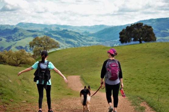
Dogs are allowed throughout, and the leash rules are straightforward. In the developed areas near the parking and main trailheads, your dog needs to stay leashed. Once you’re into the more remote sections of the park, dogs can be off-leash as long as they’ll come back when you call—voice control is the requirement. It makes a real difference if you have a dog who gets stir-crazy on a leash.
A few practical things: the park shares trails with horses and mountain bikes, so keep your dog’s collar on in case of encounters with riders. Pack out what you pack in, which applies to dog waste as much as anything else. The oak-dotted landscape means there’s decent natural shade scattered throughout, but on really hot days those exposed ridge sections can get intense, so early morning or late afternoon trips work better in summer.
The combination of leash-free sections, varied trail difficulty, and actual shade from the oaks makes this a solid choice if you want something more than a neighborhood park loop but don’t need to drive hours away. The views from the ridge are genuinely worth the climb.