South Yuba River State Park is not a contiguous park, but rather a patchwork of lands spread along a 20-mile section of river from Malakoff Diggins State Historic Park on the east to the Bridgeport covered bridge in the west.
The bridge, built in 1862, was restored after heavy damage in 1997 floods and is due for another round of restoration starting soon. It’s the longest single-span covered bridge in the country.
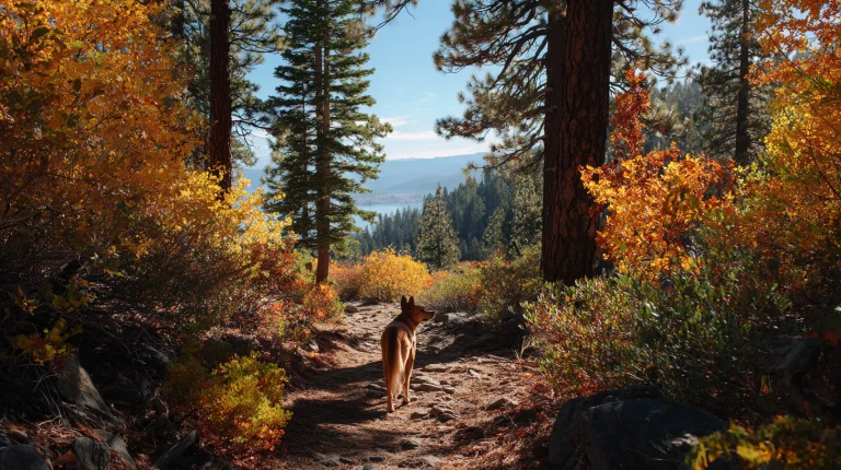
Also one-of-a-kind is the Independence Trail, which, like many “ditch trails” in the region, follows the route of a Gold Rush-era mining flume. Miles of ramps and bridges spanning steep ravines were engineered to make this the first purpose-built, wheelchair accessible wilderness trail in the nation. The trail runs along a forested hillside above the river canyon, and leashed dogs are welcome on the route. The gentle grade and smooth surface make it comfortable for dogs of all sizes, and the shaded canopy keeps things cool even during warmer months.
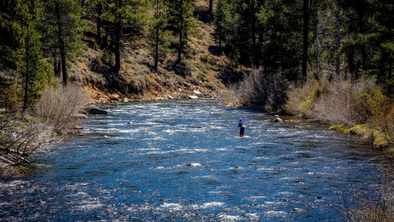
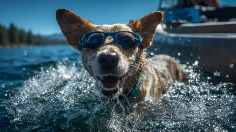
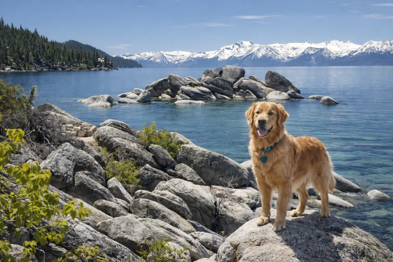
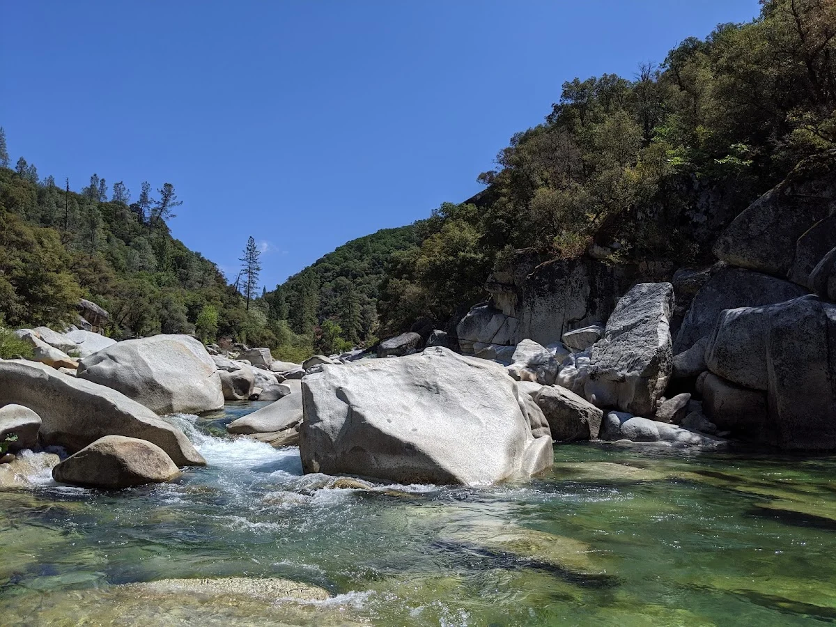
Other paths in the park hug bluffs above the river, traverse the rugged canyon and lead to swimming holes that come into their own by late summer. These trails offer more elevation change and rougher terrain, which active dogs will appreciate. The rocky riverbanks and cool water provide excellent spots for dogs to wade and drink, though you’ll want to keep a close eye on the current — the river can be deceptively strong in certain sections, especially earlier in the season when snowmelt is still flowing.
Wildflower viewing on the bluffs above the river is excellent in late March and early April, especially in the Bridgeport sector of the park. Docent-led history, nature and gold-panning tours are offered on several summer weekends, and leashed dogs can typically join these walks.
• Dogs on leash are allowed everywhere but in the swimming area adjacent to the Bridgeport covered bridge.
Directions:
The South Yuba River State Park headquarters, visitor center and bridge are at 17660 Pleasant Valley Road, Bridgeport. From Highway 20 about 7.5 miles west of Grass Valley (or 24 miles east of Marysville), turn north on Pleasant Valley and follow it 7.8 winding miles to the park. Remote portions of the park are accessible from Edwards Crossing, Purdon Crossing, and Highway 49.
• The visitor center parking lot is open from 10 a.m. to sunset; a $5 parking fee is charged.
• Visitor center hours are 11 a.m. to 4 p.m. Thursdays through Sundays.
• This park was among 70 slated to close in July 2012 due to state budget shortfalls. A grassroots effort to save it succeeded, with operations to be financed by parking fees.
• In late 2011, the bridge was closed to pedestrians due to “structural deficiencies.” Its interior remains blocked off with unsightly chain-link fencing. In 2014, funding was granted to make needed repairs, which will take at least two years.