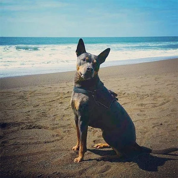
Marin County Parks Open Space Leash Policy: Dogs on leash are welcome to enjoy trails. Dogs are allowed off-leash under strict voice control on fire protection roads. Please follow posted rules.
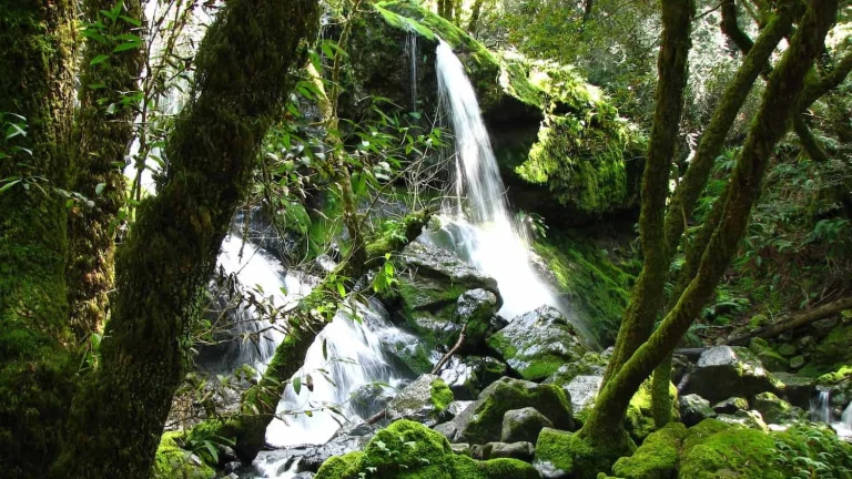
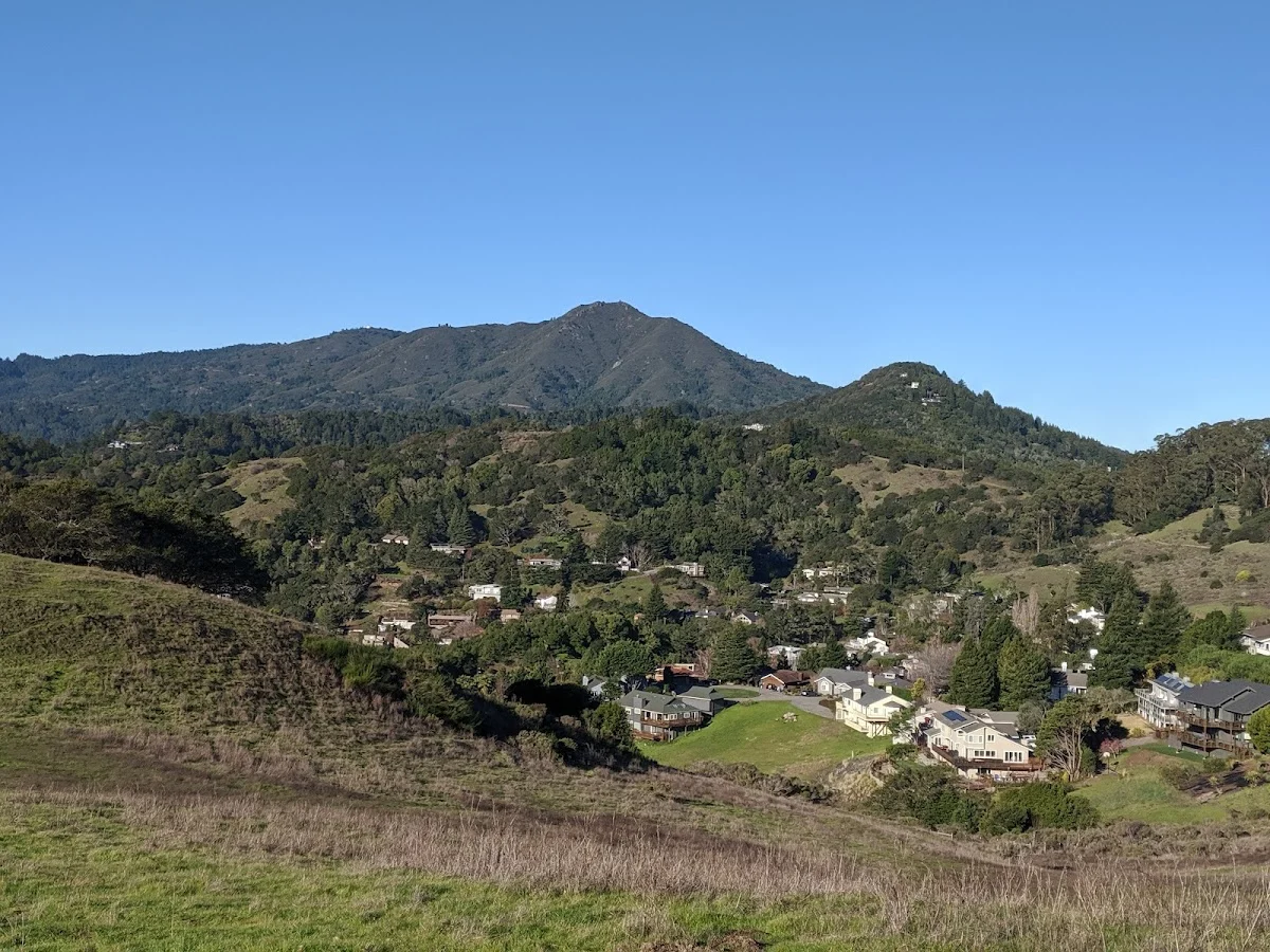
Camino Alto contains a variety of habitats within its 170 acres, including grasslands, bay/oak woodlands, and redwood/Douglas fir forests. The preserve occupies a west-facing slope that’s well forested and provides shady access to the ridge running from Mount Tamalpais toward the bay, a spur often referred to as “Northridge.” Because of its location along this spur branching south toward Mill Valley, Camino Alto serves as a gateway to Mount Tamalpais and the undeveloped lands of west Marin.
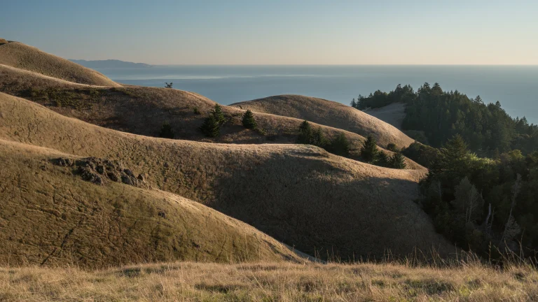
The fire roads here are popular with hikers, bicyclists, and equestrians, offering several relatively level routes along a spectacular ridge with outstanding views of San Francisco and Mount Tamalpais. The Middle Summit Fire Road rises steeply in the northern section to connect with Blithedale Summit Preserve and points beyond, so you can easily extend a shorter outing into something longer if you and your dog are up for it.
The Overhill Road trailhead—also marked as Escalon Drive—provides plenty of parking compared with most other trailheads along the north edge of Mill Valley. This makes it a practical starting point when you’re bringing your dog, since you won’t spend twenty minutes circling for a spot. From here, the trails transect multiple ecosystems, so you’ll move between open grassland and shaded forest sections depending on which routes you choose.
Summer can get quite hot, so plan for early morning or late afternoon hikes. Bring water for yourself and your dog since there’s no water source at the preserve. The main loop runs about 2.7 miles at moderate difficulty. The preserve opens at sunrise and closes at sunset, so you’ll want to check the light before heading out, especially in winter months when days are shorter.