The Caspar Uplands Trail‘s north end starts at Caspar State Beach, a small pocket beach where you can see surfers in the water and people picnicking on the sand. It’s the kind of place that feels discovered rather than crowded, even on decent weather days. Just east of the beach, as you head up the trail, you’ll pass an unusual bench dedicated to Art and Jean Morley. Local woodworker Greg Smith crafted it from redwood salvaged from the Pudding Creek Trestle, and it’s become a notable spot where hikers naturally pause.
The trail itself winds south through fir and riparian forests around Doyle Creek before climbing uphill through the southernmost stand of sitka spruce forest in North America. It’s a genuine mix of ecosystems in a relatively short walk. In spring, you’ll hear osprey pairs whistling from their nests in the tall trees—if you’re patient and quiet, you might watch one return with a fish in its talons to feed its young. The forest canopy is thick enough that even on warm days, the temperature drops noticeably once you’re inland.
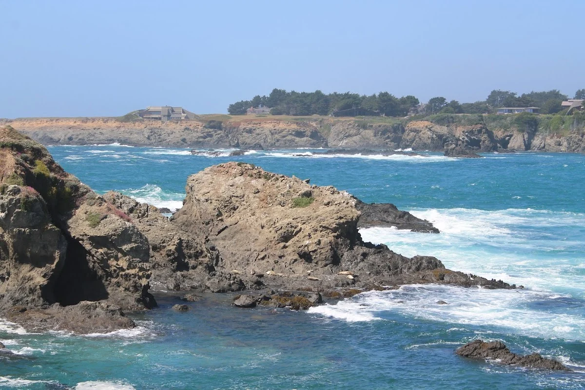
There are coastal trail connections running north and south from here. To the north, the trail links to Caspar Headlands State Park, and heading south connects toward Point Cabrillo Lighthouse State Historic Park. Finding these connections takes a bit of map reading and willingness to explore—they’re not heavily signed, which keeps this area feeling less trafficked than some coastal trails.
Dogs on leash are welcome throughout the area. One important note: there’s no cellular reception out here, so if you’re relying on your phone for navigation or emergencies, download a map ahead of time and let someone know your plans before you head out.