Part of the East Bay Regional Park District, the 1,939 acres of Crockett Hills Regional Park sit on land that was likely hunting and gathering grounds for Native Americans, later became nineteenth century ranchlands, and more recently played a role in the region’s industrial history. You can still see the original ranch barn, milkhouse, and corrals at the Crockett Ranch staging and picnic area, which gives the place real character beyond just another hillside park.
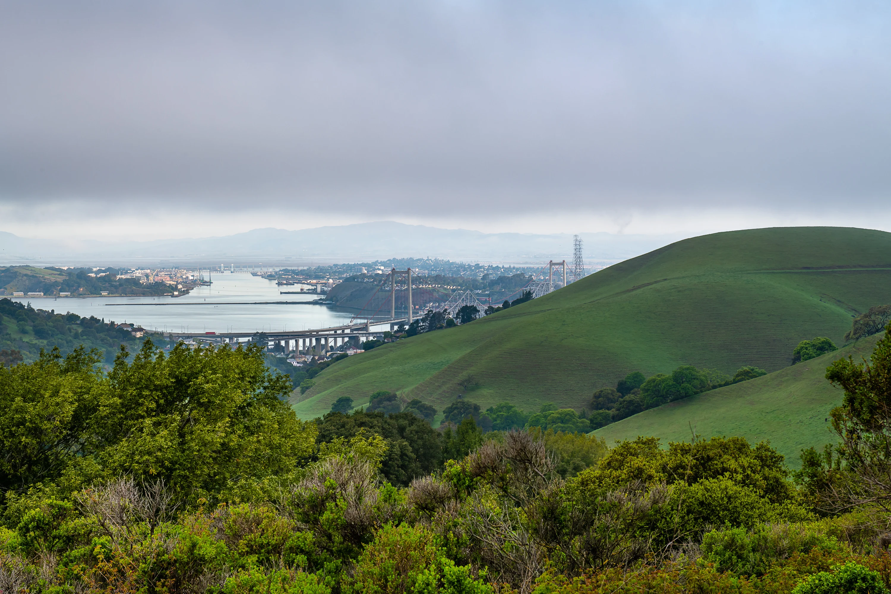
The terrain ranges from 150 to 800 feet in elevation, so you get some decent views depending on where you hike. On clear days you can see San Pablo Bay, the Delta, Mount Tamalpais, and Mount Diablo. The park includes a 4.5-mile segment of the Bay Area Ridge Trail, which is worth doing if you want a longer outing. Most people come here for hiking, running, or biking, and it’s a solid option for dog walking too. The trails aren’t overly technical, so it works fine if you have a dog that’s not super experienced with serious elevation gain.
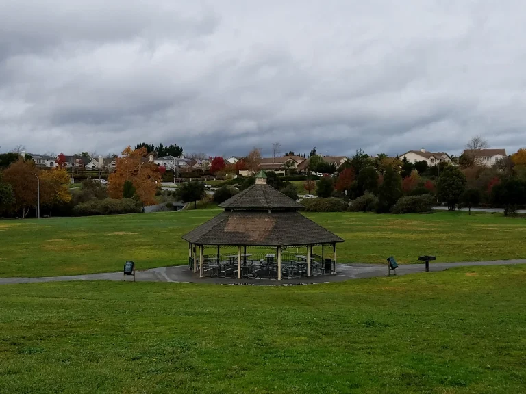
The Crockett Ranch Staging Area has picnic tables if you want to bring lunch and settle in for a bit. The staging area itself is the main access point and has decent parking. The open grassland and rolling hills mean your dog will have room to move around, though you’ll want to keep them under control since this is an active park with other visitors and horses using the same trails.
Getting there is pretty straightforward from any direction on I-80 or Highway 4. Once you’re in Crockett, follow signs to Crockett Boulevard and the staging area entrance. The park stays open during daylight hours, so plan accordingly if you’re going in fall or winter when the sun sets earlier.