Distance: up to 10.6 miles (17 km) roundtrip
Difficulty: Easy
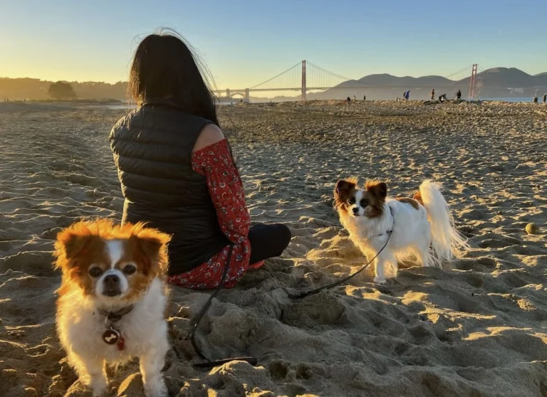
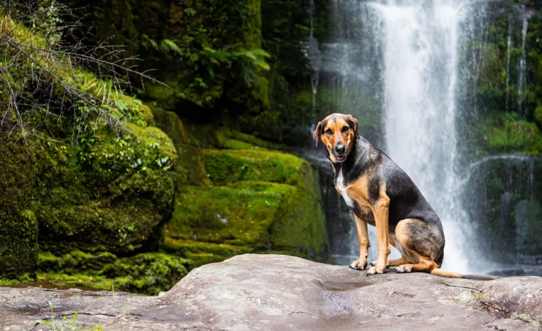
The Cross Marin Trail follows the historic North Pacific Coast Railroad right-of-way as it parallels Lagunitas Creek, resulting in a trail that has relatively little change in elevation. Pets are permitted on the Cross Marin Trail and must be on a six-foot or shorter leash at all times. Visit Point Reyes National Seashore’s Pets page for additional regulations and safety tips. The Cross Marin Trail is shared with bike and horse riders.
This is an out-and-back trail (although connecting trails offer the opportunity of loop hikes), so it provides visitors with the flexibility to choose how long they want to make their adventure. The Cross Marin Trail spans 5.3 miles (17.6 km) from its northern trailhead along Sir Francis Drake Boulevard to its southern terminus at the Leo T. Cronin Fish Viewing Area along the southeast border of Samuel P. Taylor State Park. Turn around and retrace your steps whenever you are ready. The trail description below proceeds from north to south.
The northernmost 1.5 mile (2.4 km) of the Cross Marin Trail passes through streamside woodlands, including a few small copses of redwoods, and meadows. After intersecting with the Jewell Trail (which heads steeply uphill to Bolinas Ridge Trail to the west), the Cross Marin Trail enters the redwood forest protected within Samuel P. Taylor State Park.
Another 0.8 miles (1.3 km) will bring the trail user to the site of Samuel P. Taylor’s paper mill, where there are a few wayside exhibits. State park employee housing is located in this area. Please respect the residents’ privacy by staying on official trails and away from the residences. Camp Taylor, the state park’s campground, is located 0.8 miles (1.3 km) further along the Cross Marin Trail.
Continue another 0.2 miles (0.3 km) to reach the Redwood Grove group picnic area, which is located across the creek via an automobile bridge from the Azalea Day Use lot. The Azalea Day Use lot is located just inside the entrance from Sir Francis Drake Boulevard to Camp Taylor and provides an additional location to start a hike on the Cross Marin Trail. (Samuel P. Taylor does have an entrance fee for parking at the Azalea Day Use lot.)
The Cross Marin Trail’s surface changes from paved to gravel at the south end of the Redwood Grove group picnic area. The Cross Marin Trail crosses Lagunitas Creek and Sir Francis Drake Boulevard 0.6 miles (1 km) later, just before the Irving group picnic area. Follow the gravel trail for an additional 1.4 miles (2.2 km) to reach the Cross Marin Trail’s southern terminus at the the Leo T. Cronin Fish Viewing Area. From here, one could head up the Shafter Grade to connect with the Bolinas Ridge Trail, providing options for loop hikes in excess of 10.3 miles (16.5 km).
The Ox Trail, the accessible South Creek Trail, the Pioneer Tree Trail, and the Barnabe Road/Trail also intersect at various locations along the Cross Marin Trail within the state park. Visit Samuel P. Taylor State Park’s website for more information on these routes.
This route description alone is not a substitute for a trail map. Print out the park’s South District trail map (3,422 KB PDF) and Samuel P. Taylor State Park’s map (found under the “Brochures” tab on the state park’s website) before your visit, or pick up the trail map at a visitor center on your way. (While designated as part of Golden Gate National Recreation Area, the northern 1.5 miles (2.4 km) of the Cross Marin Trail are managed by Point Reyes National Seashore.)
This route description alone is not a substitute for a trail map. Print out Point Reyes National Seashore’s South District trail map (3,422 KB PDF) before your visit, or pick up the trail map at the Bear Valley Visitor Center on your way. (While designated as part of Golden Gate National Recreation Area, the northern 1.5 miles (2.4 km) of the Cross Marin Trail are managed by Point Reyes National Seashore.)
Always check current conditions before heading out into the park and familiarize yourself with park regulations. Please practice Leave No Trace principles.
Visit the park’s Hiking at Point Reyes National Seashore page for hiking tips and information about trail etiquette and safety.
Visit the park’s Trail Advisories and Closures page for current information about closed trails, trails blocked by trees, or other temporary hazards or advisories.
Dog rules
Pets are permitted on the Cross Marin Trail, as well as the Jewell Trail, which intersects with the Cross Marin Trail. Aside from at the parking areas, pets are not permitted beyond the Cross Marin Trail. Download the map showing the NPS-managed trails that are open for pets along Bolinas Ridge. (4,592 KB PDF) Pets must be on a leash at all times; the leash must be no longer than 6 feet (1.8 m). Visit Point Reyes National Seashore's Pets page for more information.
Source: National Park Service