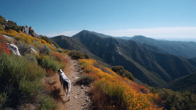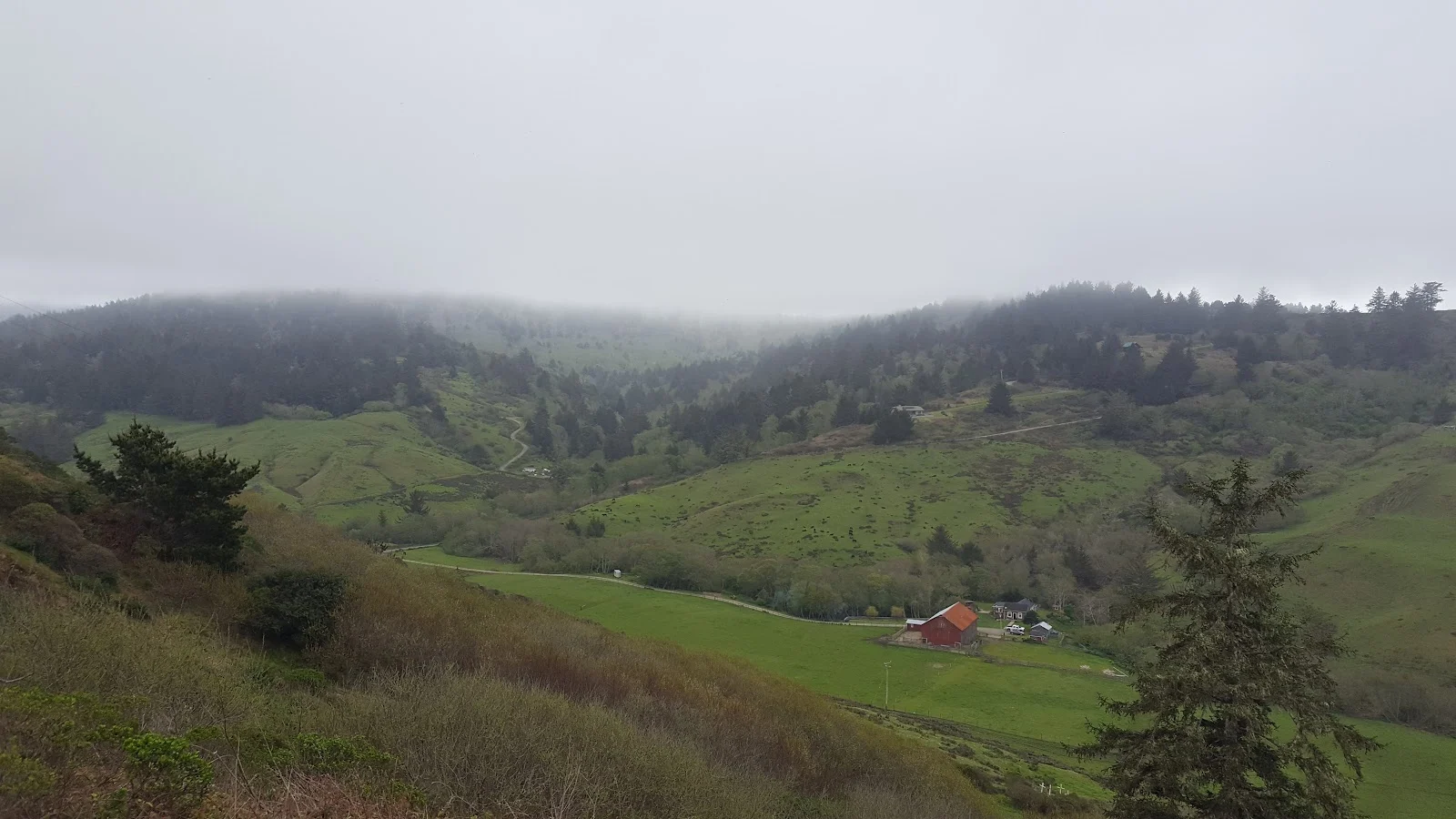
The Lost Coast Headlands are located along the coastal bluffs south of the mouth of the Eel River, approximately 280 miles north of San Francisco, 25 miles south of Eureka, and 6 miles west of Ferndale. The 463 acres of public land provide seasonal beach access and include grasslands with scattered patches of forest and portions of the Fleener Creek and Guthrie Creek watersheds. The northern point of California’s Lost Coast is a place of rolling mountains and windswept coastal bluffs crumbling onto narrow beaches. The area is hard to beat if you’re looking for quiet recreational pursuits.
Lost Coast Headlands offers opportunities for hiking, bird watching, wildflower viewing, and beachcombing. The terrain varies depending on which trailhead you choose. Fleener Creek is the shorter option, dropping just half a mile from the parking lot to the beach below, making it good for dogs who need less strenuous outings or when time is limited. Guthrie Creek requires a full mile down to the beach, but rewards you with more solitude and time to explore the rocky inlets and tide pools. The landscape itself shifts between open grassland and small forested patches, so you’ll get variety within a single visit.
Dogs are welcome off leash as long as they are under strict voice control. The windswept bluffs mean exposure, so keep an eye on dogs who might bolt toward the cliff edges, and always pick up after them.
To reach Fleener Creek Trailhead, exit Highway 101 at Ferndale and travel west toward town for five miles. Turn right onto Ocean Avenue from Main Street and continue for seven miles to the trailhead. The road alternates between dirt and pavement, so take it slowly. You’ll see the parking lot and kiosk on your right. For Guthrie Creek, continue south from Fleener Creek approximately 2 miles and watch for the trailhead on your right. Both areas are open year-round, though beach access is seasonal, so call ahead to confirm conditions before making the drive out from Eureka or Ferndale.