The Napa Valley Vine Trail Coalition is a grassroots nonprofit working to connect the entire Napa Valley with a walking and biking trail system that celebrates the region’s physical landscape, art, and culture. Right now, the completed section runs 12.5 miles from Kennedy Park in Napa to Yountville, with plans to eventually extend the full network to 47 miles stretching from Vallejo’s Ferry Terminal all the way north to Calistoga at the Oat Hill Mine Trail trailhead.
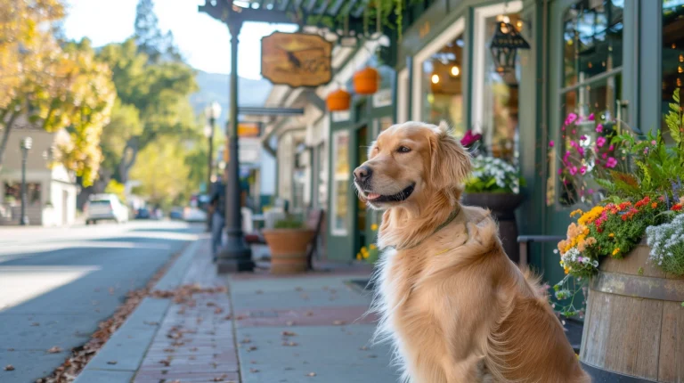
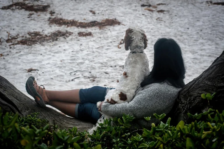
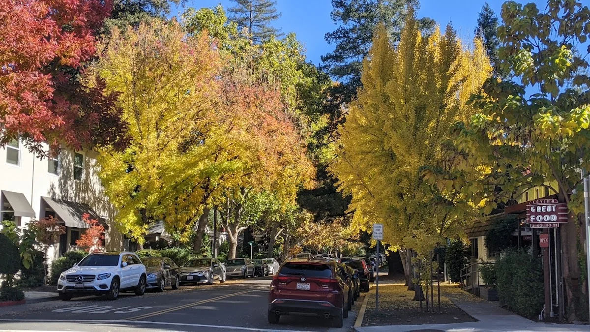
What makes this trail special for dogs is the paved, level design—no technical terrain or steep elevation changes to worry about. The entire route is free to access and engineered specifically to be pet-friendly, so you don’t have to wonder if your dog is welcome. The current completed stretch passes through the heart of wine country, which means you’re moving through some genuinely beautiful terrain with vineyards on either side and small towns along the way where you can stop for water or snacks.
The trail connects Napa Valley’s main communities, so depending on where you start, you could do anything from a short neighborhood walk to a longer day trip. Since it’s paved and flat, it works well for dogs of different ages and fitness levels—older dogs won’t struggle with steep grades, and younger ones get solid exercise without intense terrain challenges.
The full vision is ambitious: eventually linking with the greater Bay Area trail system via the Ferry Terminal connection, with Calistoga serving as the northern anchor near Mount St. Helena. For now, the Kennedy Park to Yountville section gives you a real taste of what the complete network will offer. You can download the current route map from vinetrail.org to plan your section, and as the trail expands, there will be even more options for exploring Napa Valley with your dog on a well-maintained path.