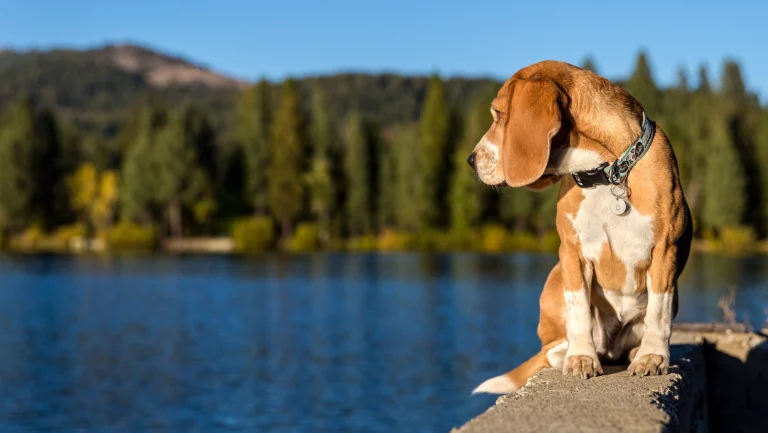
If you’ve hiked Eagle Falls on a July Saturday, you already know. The parking lot at Emerald Bay is a demolition derby by 9 a.m., the granite steps are polished slick from a million boots and paws, and the “social trails” braiding off the main route look like somebody took a weed-whacker to the whitebark pines. Tahoe’s greatest hits are being loved to death — and our dogs are part of the crowd.
That’s uncomfortable to say on a site whose whole job is to get you and your dog out the door. So let’s be honest about what’s breaking, and then — because this is DogTrekker — let’s talk about where to go instead. This is the first post in our new Leave Only Paw Prints® series: practical, trail-by-trail, zero lectures.
What’s actually breaking
The USFS Lake Tahoe Basin Management Unit has been flagging the same corridors for years in its visitor-use monitoring: the Desolation Wilderness gateways, the Highway 89 pullouts, and the Mt. Rose shoulder. Here’s the short list of dog-popular trails taking real damage:
- Eagle Falls / Eagle Lake (Emerald Bay): 2 miles round-trip, gorgeous, and absolutely hammered. Granite erosion, off-trail shortcutting above the falls, and a chronic micro-trash problem (poop bags left “for the way back” is the big one).
- Emerald Bay / Vikingsholm corridor: Kiva Beach and the bay’s north shore are seeing meadow trampling and serious wildlife habituation — bears, Canada geese, and stellar jays that now treat coolers as vending machines.
- Five Lakes Trail (Alpine Meadows): A 4.7-mile gem that now routinely overflows its tiny neighborhood trailhead. Granite benches are fine; the fragile hanging meadows at the top are not.
- Mt. Tallac: 10+ miles, 3,300 feet of gain, and a permit board most Bay Area visitors still ignore. Floating Island Lake’s shoreline is visibly receding into bare dirt.
The USFS rolled out expanded day-use fees and tightened Desolation Wilderness overnight quotas through 2024–2025, and Caltrans is piloting Highway 89 shoulder closures around Emerald Bay on peak weekends. Expect more of this, not less.
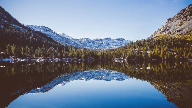
Where to go instead — still dog-friendly, still spectacular
Page Meadows (Tahoe City). A network of old logging roads and singletrack through aspen and wildflower meadows. Roughly 5 miles of loops, gentle grade, leashed dogs welcome. Access from Silvertip or Tahoe Park neighborhoods. You will see maybe six people.
Tahoe Meadows / Ophir Creek (Mt. Rose Highway). The paved interpretive loop is 1.3 miles and wheelchair-accessible; the Ophir Creek Trail keeps going for as long as your dog’s legs hold out. 8,700 feet of elevation means cool paws in August. Leashed, Humboldt-Toiyabe NF.
Ward Creek Trail (west shore). A quiet 6-mile out-and-back up a creek drainage off Pineland. Shady, water the whole way, and a fraction of the Five Lakes crowd two ridges over.
Blackwood Canyon. Dirt road and singletrack climbing to Barker Pass. Great for longer-legged dogs who want a real day. Connects to the Tahoe Rim Trail if you want to keep going.
Tahoe Rim Trail — Brockway Summit segment. Pick a mile, turn around. Dogs on leash, views for days, and almost nobody uses it from the Highway 267 trailhead.
The Leave Only Paw Prints ask
Pack out the bag. Stay on durable surfaces — granite, dirt, established tread. Skip the hero trail on holiday weekends. Tahoe doesn’t need fewer dogs on it. It needs us spread across more of it. See you on the quiet ones.