
Featured hikes
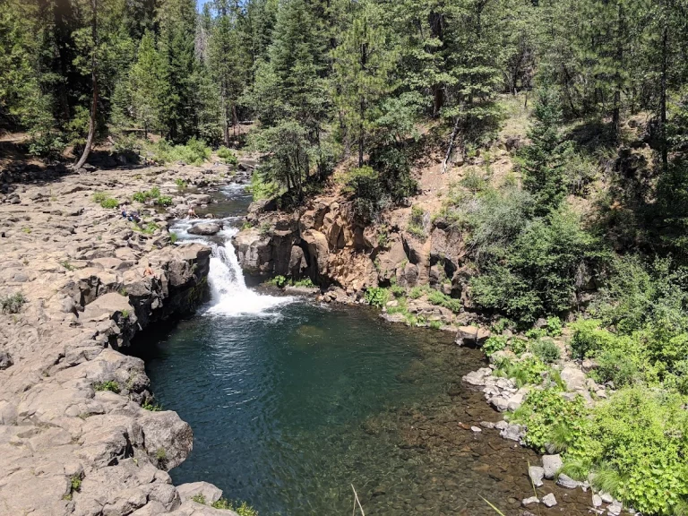
Upper McCloud Falls
McCloud
There are three levels—lower, middle and upper—to McCloud Falls in the Shasta-Trinity National Forest. The hikes are very scenic and offer an opportunity to view various forms of vegetation and wildlife.
Read moreOther hikes
Everitt Memorial Highway
Mount Shasta
It takes just half an hour to drive Everitt Memorial Highway, a two-lane, 14-mile scenic road up the southwest flank of Mount Shasta. Or then again, it can take all day.
Read moreGray Butte Trail
Mount Shasta
Leashed dogs are allowed on Gray Butte Trail, a 3.5-mile, round-trip hike through Lower Panther Meadow to Gray Butte, a stunning vista point at 8,129 feet elevation.
Read moreGreat Shasta Rail Trail
McCloud
The Great Shasta Rail Trail (GSRT), at full build-out, will link the California towns of McCloud and Burney and nearby recreation areas along an 80-mile scenic trail featuring local heritage and culture, close connections to nature, and boosting the economic and social vitality of local
Read moreLake Siskiyou Trail
Mount Shasta
The Lake Siskiyou Trail, located near Mount Shasta in Siskiyou County, is a picturesque destination for outdoor enthusiasts seeking a dog-friendly adventure. To access the trail from the town of Mt.
Read moreMiddle Creek Falls Trail
McCloud
There are actually three levels to McCloud Falls: lower, middle and upper. There is a picnic area and swimming hole located at the Lower Falls. The hike...
Read moreOld Ski Bowl
Mount Shasta
The 14-mile Everitt Memorial Highway from Mount Shasta City ends in a parking lot at the site of the now defunct Mount Shasta Ski Bowl, which...
Read moreMore Adventures in Siskiyou County
Top five off-the-beaten-path dog hikes in Shasta Cascade
Most Shasta Cascade hike lists start and end with Burney Falls, Whiskeytown Falls and Lake Siskiyou Trail. Fine hikes — but not the only ones. Here are five dog-friendly trails from our DogTrekker directory that don’t crowd the Google results…
Read more
Dog-friendly Father’s Day: 5 California trips dads will want
Five honest California Father's Day trips, all dog-friendly: McCloud and the Shasta Cascade, Paso Robles ranch country, Trinidad on the Humboldt coast, Mammoth Lakes at full stretch, and Nevada City in the Gold Country. Muddy dogs, cabin porches, no infusions.
Read more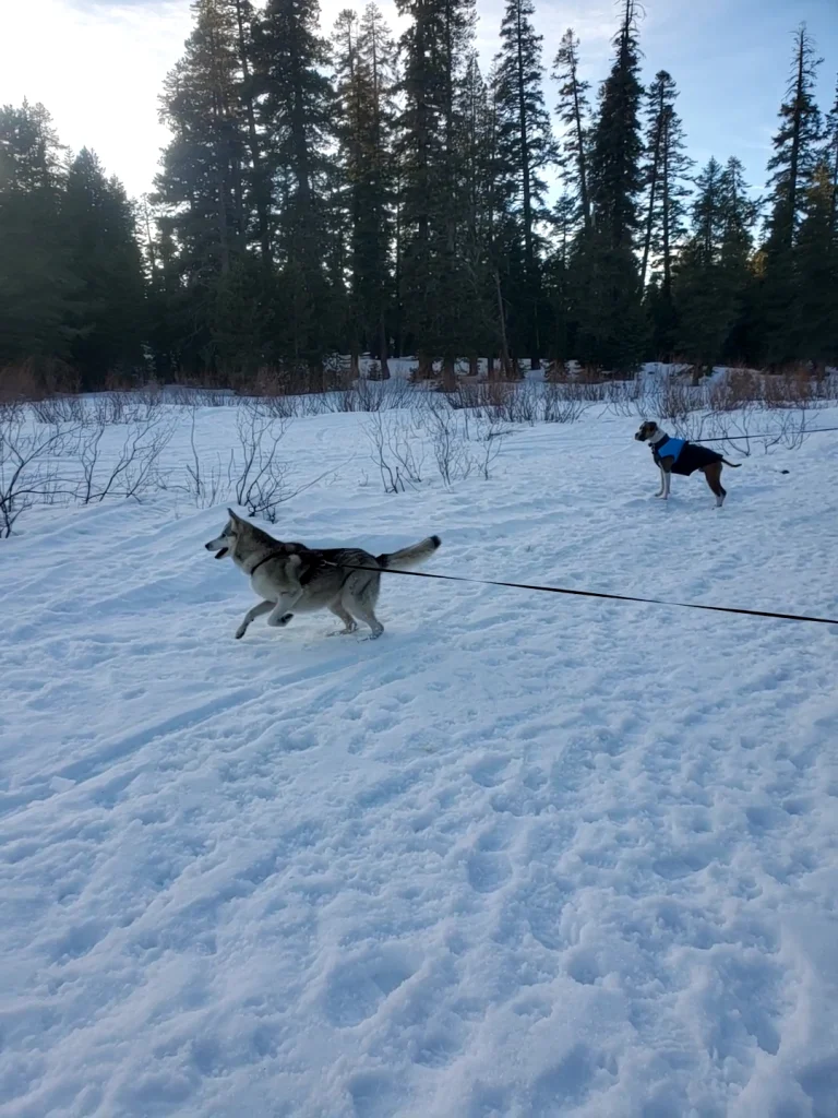
4 high-elevation dog-friendly hikes for late wildflower season
California's high country blooms a full month or two after the valleys. Four dog-friendly hikes where wildflowers are still climbing into June and July: Carson Pass, Panther Meadows on Mount Shasta, the June Lake Loop, and the country around Lassen.
Read more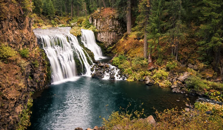
Plan a summer reset in the Shasta Cascade region
Northern California's Shasta Cascade region spans eight counties packed with national and state parks, trails, lakes and pet-friendly towns. From Mount Shasta's peaks to Burney Falls, spring brings wildflowers and ideal conditions for exploring with your dog.
Read more
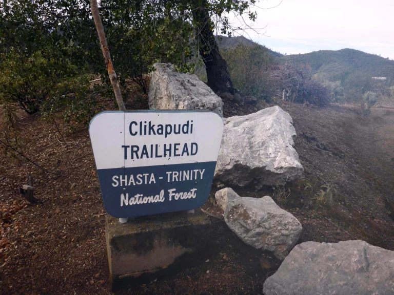
Ruff recreation beckons in Redding
Redding is adventure central for dogs and their people, with 225 miles of trails within 15 minutes of town. Explore Shasta-Trinity National Forest, walk the iconic Sundial Bridge, and follow the paved Sacramento River Trail all the way to Shasta…
Read more
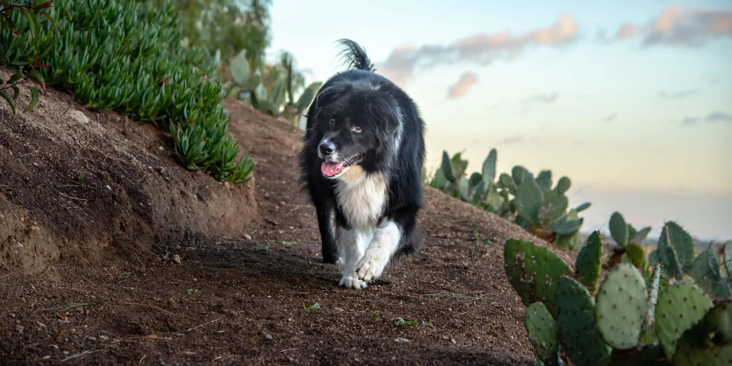
Enter the DogTrekker California photo contest and capture stunning shots of your dog
DogTrekker's California Photo Contest invites you to photograph your dog at the state's most scenic spots. From Big Sur cliffs and Yosemite trails to San Francisco landmarks, here are top locations for stunning pup portraits. Are you a proud dog…
Read more