Most Shasta Cascade hike lists start and end with Burney Falls, Whiskeytown Falls and Lake Siskiyou Trail. Fine hikes — but not the only ones. Here are five dog-friendly trails from our DogTrekker directory that don’t crowd the Google results: lake loops, rail grades, spring-fed canyons and one serious summit. Plan on leash, water and early starts — all five earn it.
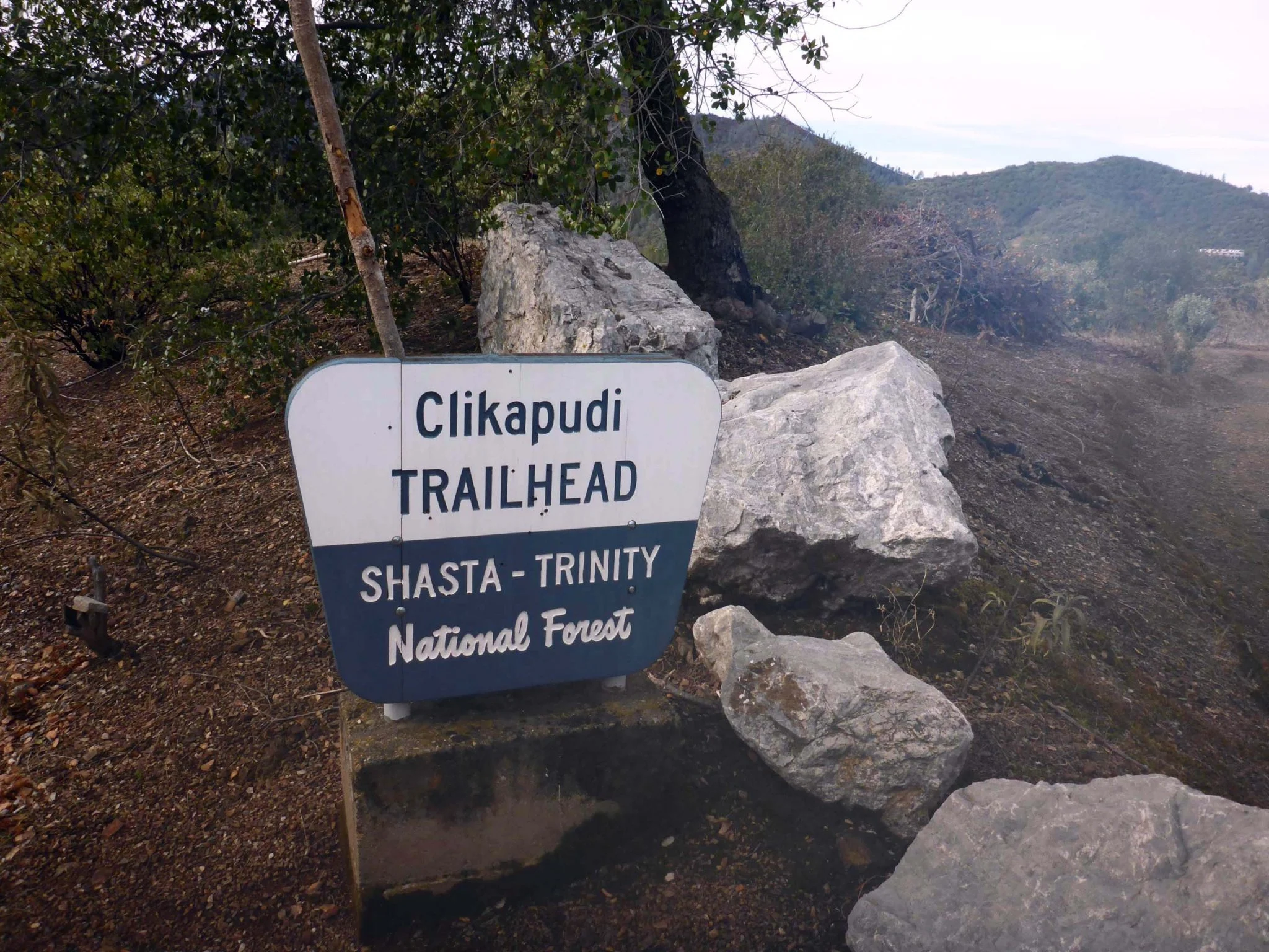
Clikapudi Trail (Shasta Lake, Shasta County)
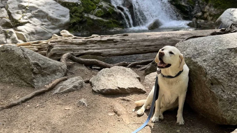
About 9 miles east of Shasta Lake City, Clikapudi Trail starts at Jones Valley Boat Ramp and opens out to big views of the lake and surrounding mountains. The path is well-marked and flexible — we can turn back whenever our dog says so. It’s a dry hike, though, with no water on the route, so we pack more than we think we’ll need and start early in summer. Leashed dogs are welcome in the recreation areas. Afterward, the Shasta Lake shoreline makes a solid cool-down spot for a picnic.
Great Shasta Rail Trail (McCloud, Siskiyou County)
The Great Shasta Rail Trail follows a former McCloud River railroad grade that will eventually link McCloud and Burney across 80 miles. From McCloud, the Esperanza-to-Hambone section runs 25.8 miles on a cinder surface — gentle underfoot and closed to motorized vehicles, which keeps it genuinely quiet. Reach the trailhead by heading 5 miles east on Highway 89 from downtown McCloud, then a mile up Esperanza Road. The Burney side offers a 9.8-mile segment toward Lake Britton’s “Stand By Me” bridge. Cinder reflects heat, so we go early on hot days.
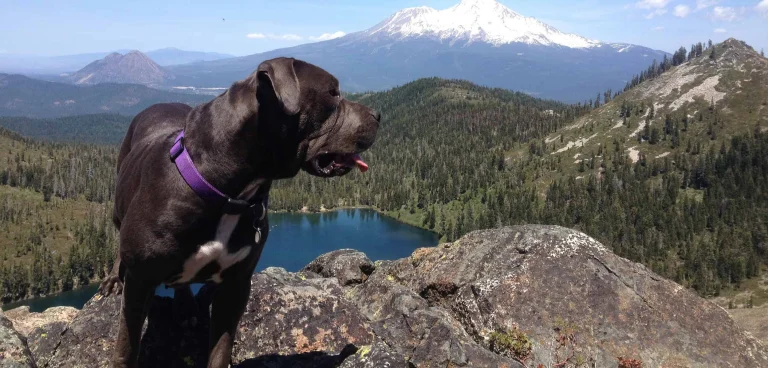
Gray Butte Trail (Mount Shasta, Siskiyou County)
Gray Butte is one of the few Mount Shasta-area trails where dogs are welcome on leash. The 3.5-mile round trip starts at Panther Meadows campground, 13 miles up the Everitt Memorial Highway from Mount Shasta City, and climbs through Lower Panther Meadow to the 8,129-foot summit. A self-permit kiosk sits at the meadow’s edge. Tobacco and crystal offerings near the start mark the area’s significance to several Native American tribes — we tread accordingly. Leashes protect the fragile meadow plants. The highway closes seasonally, so check conditions before the drive.
Long Lake Loop Trail (Blairsden-Graeagle, Plumas County)
The 4.5-mile Long Lake Loop near Clio threads through pine forest and meadow in the Blairsden-Graeagle area of Plumas County. Leashed dogs are welcome, and the elevation gain is steady rather than punishing — a real workout without overcommitting the dog. Shaded forest alternates with open water views around the lake. The trail opens roughly June through October, after snowmelt clears. Parking fills fast on summer weekends, so early is better. Bring plenty of water; the lake isn’t a reliable drinking source for dogs.
Domingo Springs Trail (Chester, Plumas County)
Domingo Springs Trail is a 7-mile moderate hike near Chester, with a trailhead just past Domingo Springs Campground on Feather River Drive. The draw is the springs themselves — a faucet of ice-cold water surrounded by watercress and ferns that stay green even late in summer. The hike moves through mixed Sierra forest without the steep scrambles of higher-elevation trails. The first section has no water access, so we top off before stepping off. It doesn’t feel Bay Area-crowded — which is part of why we like it.
Before we go
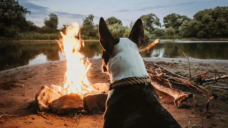
A few notes on all five. Leash laws apply on every trail here — Mount Shasta’s meadow ecosystem and Shasta Lake’s recreation areas both require it, and rangers enforce. Always pack out waste, bring more water than we think we need, and check road and weather conditions before driving up. Elevation makes Shasta Cascade trails forgiving of summer heat down in the valley — but exposed sections still bite in the afternoon.