
Trails near Yosemite Region
Featured trails
Highway 108 SNO-Park
Strawberry
California State Highway 108 traverses the Sierra Nevada at an elevation of 9,628 feet and is subject to winter closure…

Jackson Hole trail
Oakhurst
The dog-friendly Jackson Hole trail in Fish Camp, located in Yosemite Madera County within the Gold Country region, offers a…

Wawona Meadow Loop
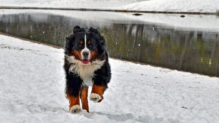
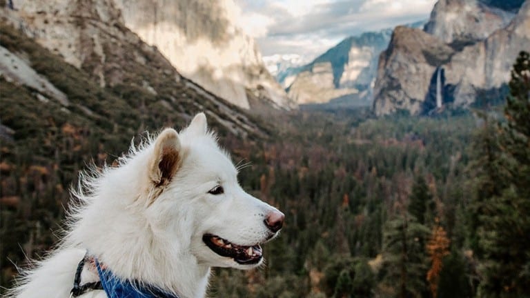
Yosemite National Park
The Wawona Meadow Loop trail, located in Fish Camp, Yosemite Madera County, is a delightful 3.5-mile hike that offers a…
Yosemite National Park
Yosemite National Park
Before you bring your dog to Yosemite National Park, read up on the rules so you won't be disappointed.
More trails
Briceburg Canyon Trail
Mariposa
This easy, three-mile trail above the Wild and Scenic Merced River corridor below Midpines is great day trip. Bring water, food…
Briceburg Hike Toward Yosemite
Midpines
Distance: 8 miles round trip Elevation: 1,157 ft Difficulty: Easy Time: 3hrs approx. Begin at: Briceburg Bridge At Briceburg, cross the one-lane-metal-and-wood bridge over the…
Briceburg Hiking Trail West
Midpines
Distance: 5 miles Elevation: 1,166 ft. Difficulty: Easy Time: 3 hrs. Begin at: Briceburg Bridge The Merced River runs next to the Briceburg hiking trail…
Bridalveil Fall
Yosemite National Park
Plunging 620 feet (189 meters), Bridalveil Fall is often the first waterfall you’ll see when entering Yosemite Valley. In spring,…
Chowchilla Mountain Road Trail
Mariposa
In the heart of Mariposa County, just a stone’s throw from Yosemite National Park, lies the picturesque Chowchilla Mountain Road…
Columns of the Giants
Pinecrest
Columns of the Giants in Pinecrest, Tuolumne County, is a must-visit spot for dog owners looking to explore the stunning…
Cook’s Meadow Loop
Yosemite National Park
This one-mile easy loop will take you about 30 minutes. It is accessible year round but could be snowy or…
Donnell Vista
Pinecrest
In the heart of Gold Country, just 18 miles east of Pinecrest in Tuolumne County, travelers will find the picturesque…
Dragoon Gulch Trail
Sonora
The relatively new Dragoon Gulch Trail system was built with the help of many individuals and agencies. Starting at Woods…
Glacier Point
Yosemite Valley
Glacier Point, an overlook with a commanding view of Yosemite Valley, Half Dome, Yosemite Falls, and Yosemite’s high country, is…
Hite Cove Trail
El Portal
The Hite Cove Trail, a 3.5-mile (one way) hike along the South Fork of the Merced River, is a must-visit…
Hodgdon Meadow – Carlon Road Trailhead
Groveland
In Groveland, Tuolumne County, within the stunning Gold Country region, travelers can explore the Hodgdon Meadow – Carlon Road Trailhead.…
Hodgdon Meadow – Hazel Green Creek Trailhead
Groveland
In Groveland, Tuolumne County, within the stunning Gold Country region, lies the Hodgdon Meadow – Hazel Green Creek Trailhead, a…
Read more about Hodgdon Meadow – Hazel Green Creek Trailhead
Hodgdon Meadow – Trailhead to Tuolumne Grove
Groveland
The Tuolumne Grove Trail provides access to the second largest grove of Giant Sequoias in Yosemite National Park.
Read more about Hodgdon Meadow – Trailhead to Tuolumne Grove
Indigeny Reserve
Sonora
Drive along a secluded tree-lined road, over the covered bridge, and immerse yourself in Indigeny Reserve™. This ciderworks and distillery…
Lewis Creek Trail
Oakhurst
The Lewis Creek National Scenic Trail to Corlieu Falls and Red Rock Falls is a 3.7 mile out and back…
Lyons Reservoir Trail
Twain Harte
In Twain Harte, Tuolumne County, within the scenic Gold Country region, the Lyons Reservoir Trail offers a delightful outdoor experience…
Merced River Trail
Briceberg
The Merced River Trail and Recreation Area is about 12 miles north of Mariposa and near the entrance to Yosemite…
Mirror Lake/Meadow Trail
Yosemite National Park
The Mirror Lake/Meadow Trail in Yosemite National Park offers a picturesque two-mile round-trip hike that typically takes about an hour…
New Melones Lake and Recreation Areas
Sonora
New Melones Dam and Reservoir are part of the Central Valley Project – New Melones Unit operated by the Bureau of Reclamation, located…
Old Big Oak Flat Road
Yosemite National Park
Old Big Oak Flat Road, a historic trail in Yosemite National Park, offers a unique hiking experience for visitors and…
Pinecrest Lake National Recreation Trail
Pinecrest
Dogs on leash are welcome to explore the Pinecrest Lake National Recreation Trail around Pinecrest Lake in Tuolumne County.
Preston Falls Trail
Groveland
With only 300 feet of elevation variation, this4.4-mile trail along the north side of the Tuolumne River is rated easy,…
Summerdale Hike at Tenaya Lodge
Fish Camp
Located in Fish Camp, Yosemite Mariposa County, the Summerdale Hike at Tenaya Lodge offers a picturesque adventure for both humans…
Tenaya Loop Trail
Oakhurst
The Tenaya Loop Trail, located adjacent to Tenaya Lodge in Fish Camp, offers a delightful stroll through nature’s beauty. This…
Trail of the Gargoyles
Pinecrest
Trail of the Gargoyles in Pinecrest, Tuolumne County, offers a scenic 1.5-mile walk with sweeping views of unique geologic features…
Trail of the Survivors
Pinecrest
“Trail of the Survivors in Pinecrest, Tuolumne County, is a dog-friendly .25 mile trail that offers a glimpse into the…
Tuolumne River Canyon Trail
Groveland
The Tuolumne River Canyon Trail in Groveland, Tuolumne County, is a six-mile moderate hike that meanders along the south side…
Wawona Eleven Mile Fire Road
Wawona
Although this fire road is unsigned and can be hard to find, the road to Eleven-Mile Meadow is one of…
Westside Trail
Tuolumne
The Westside Trail, located in Tuolumne County within the Gold Country region, is a historic gem that was once a…