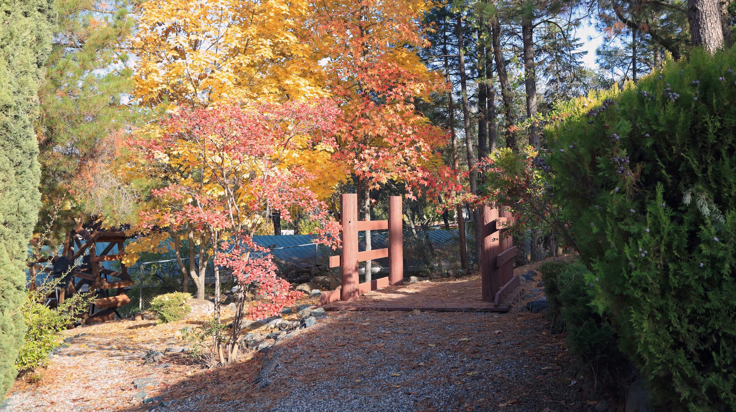
Featured parks
Highway 108 SNO-Park
Strawberry
California State Highway 108 traverses the Sierra Nevada at an elevation of 9,628 feet and...
Read More
Jackson Hole trail
Oakhurst
The dog-friendly Jackson Hole trail in Fish Camp, located in Yosemite Madera County within the...
Read MoreRailtown 1897 State Historic Park
Jamestown
Located just six miles from Columbia State Historic Park in Jamestown, Tuolumne County, Railtown 1897...
Read More
Wawona Meadow Loop
Yosemite National Park
The Wawona Meadow Loop trail, located in Fish Camp, Yosemite Madera County, is a delightful...
Read More
Yosemite National Park
Yosemite National Park
Before you bring your dog to Yosemite National Park, read up on the rules so...
Read MoreOther parks
Big Meadow
Long Barn
Excellent for beginners with minimal climbing and an easy to follow route. Directions: From South...
Read MoreBriceburg Canyon Trail
Mariposa
This easy, three-mile trail above the Wild and Scenic Merced River corridor below Midpines is great...
Read MoreBriceburg Hike Toward Yosemite
Midpines
Distance: 8 miles round trip Elevation: 1,157 ft Difficulty: Easy Time: 3hrs approx. Begin at: Briceburg Bridge At Briceburg, cross...
Read MoreBriceburg Hiking Trail West
Midpines
Distance: 5 miles Elevation: 1,166 ft. Difficulty: Easy Time: 3 hrs. Begin at: Briceburg Bridge The Merced River runs next...
Read MoreBridalveil Fall
Yosemite National Park
Plunging 620 feet (189 meters), Bridalveil Fall is often the first waterfall you’ll see when...
Read MoreChowchilla Mountain Road Trail
Mariposa
In the heart of Mariposa County, just a stone’s throw from Yosemite National Park, lies...
Read MoreColumbia State Historic Park
Columbia
The Gold Rush town that refused to die is a charming place for adults and...
Read MoreColumns of the Giants
Pinecrest
Columns of the Giants in Pinecrest, Tuolumne County, is a must-visit spot for dog owners...
Read MoreCook’s Meadow Loop
Yosemite National Park
This one-mile easy loop will take you about 30 minutes. It is accessible year round...
Read MoreDonnell Vista
Pinecrest
In the heart of Gold Country, just 18 miles east of Pinecrest in Tuolumne County,...
Read MoreDragoon Gulch Trail
Sonora
The relatively new Dragoon Gulch Trail system was built with the help of many individuals...
Read MoreGlacier Point
Yosemite Valley
Glacier Point, an overlook with a commanding view of Yosemite Valley, Half Dome, Yosemite Falls,...
Read MoreIndigeny Reserve
Sonora
Drive along a secluded tree-lined road, over the covered bridge, and immerse yourself in Indigeny...
Read MoreLake McClure
Mariposa
Lake McClure, located in Mariposa County in the heart of Gold Country, is a haven...
Read MoreLewis Creek Trail
Oakhurst
The Lewis Creek National Scenic Trail to Corlieu Falls and Red Rock Falls is a...
Read MoreLyons Reservoir Trail
Twain Harte
In Twain Harte, Tuolumne County, within the scenic Gold Country region, the Lyons Reservoir Trail...
Read MoreMirror Lake/Meadow Trail
Fish Camp
The Mirror Lake/Meadow Trail in Yosemite National Park offers a picturesque two-mile round-trip hike that...
Read MoreNelder Grove
Oakhurst
The Nelder Grove of Giant Sequoias is a 1540 acre tract in the Sierra National...
Read MoreNew Melones Lake and Recreation Areas
Sonora
New Melones Dam and Reservoir are part of the Central Valley Project – New Melones Unit operated by...
Read MoreOld Big Oak Flat Road
Yosemite National Park
Old Big Oak Flat Road, a historic trail in Yosemite National Park, offers a unique...
Read MorePinecrest Lake National Recreation Trail
Pinecrest
Dogs on leash are welcome to explore the Pinecrest Lake National Recreation Trail around Pinecrest...
Read MoreRed Hills Recreation Area
Chinese Camp
The Red Hills Recreation Area is a region of 7,100 acres of public land managed...
Read MoreTenaya Loop Trail
Oakhurst
The Tenaya Loop Trail, located adjacent to Tenaya Lodge in Fish Camp, offers a delightful...
Read MoreTrail of the Gargoyles
Pinecrest
Trail of the Gargoyles in Pinecrest, Tuolumne County, offers a scenic 1.5-mile walk with sweeping...
Read More