
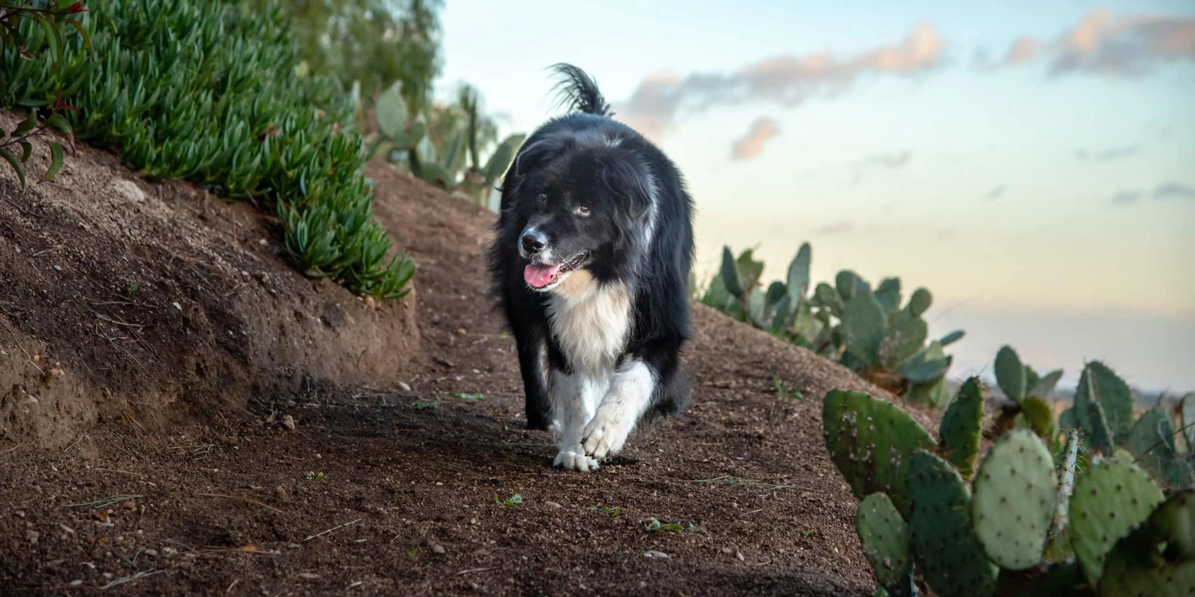
Featured hikes
Bagby Recreation Area- Lake
Mariposa
Bagby Recreation Area- Lake McClure is a dog-friendly hiking area located in Mariposa, California, in beautiful Mariposa County — the gateway to Yosemite National Park. Rated 4.3/5 on Google (98 reviews).
Read more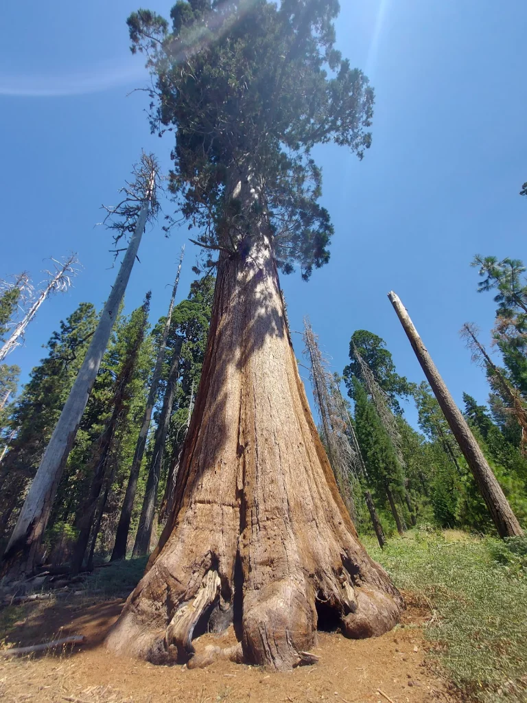
Big Trees Loop Trailhead
Mariposa
Big Trees Loop Trailhead is a dog-friendly hiking area located in Mariposa, California, in beautiful Mariposa County — the gateway to Yosemite National Park. Rated 4.8/5 on Google (64 reviews).
Read more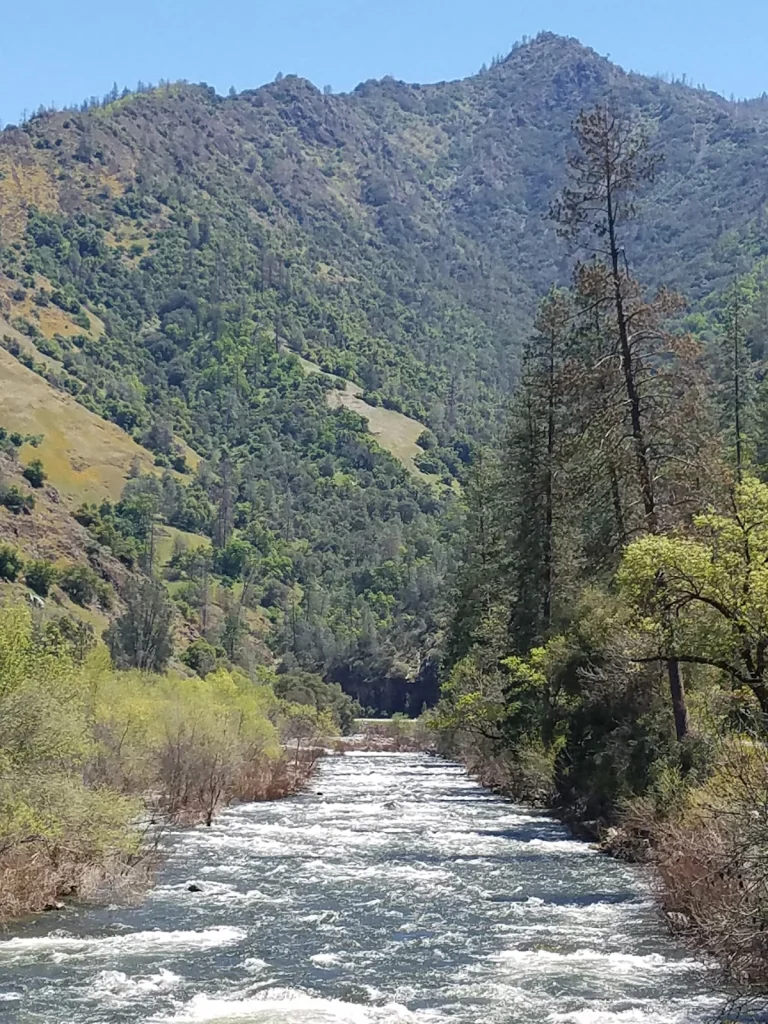
Briceburg Canyon Trail
Mariposa
This easy, three-mile trail above the Wild and Scenic Merced River corridor below Midpines is great day trip. Bring water, food and a gold pan...cause ya never know.
Read more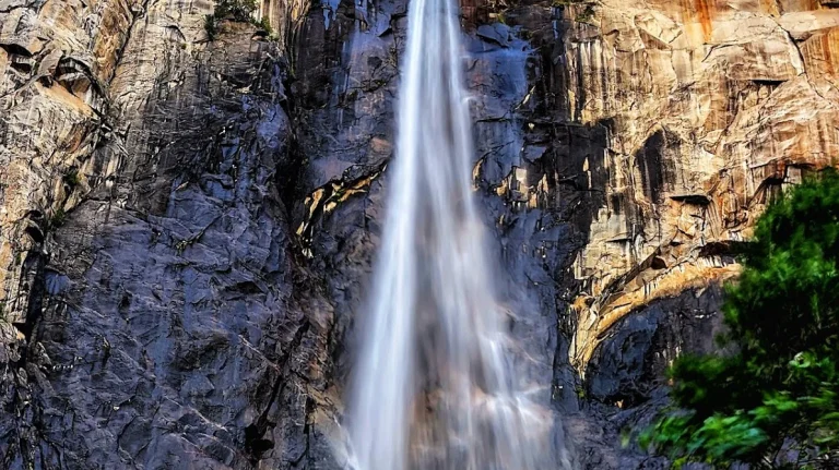
Bridalveil Falls Trailhead
Mariposa
Bridalveil Falls Trailhead is a dog-friendly hiking area located in TUOLUMNE MEADOWS, California, in beautiful Mariposa County — the gateway to Yosemite National Park. Rated 4.8/5 on Google (936 reviews).
Read more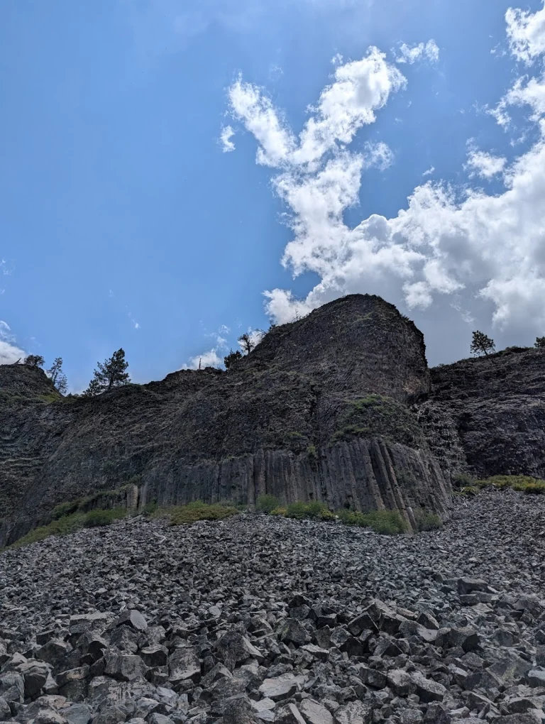
Columns of the Giants
Pinecrest
Columns of the Giants in Pinecrest, Tuolumne County, is a must-visit spot for dog owners looking to explore the stunning geologic formations of the Gold Country region.
Read more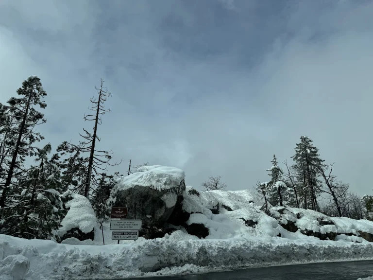
Highway 108 SNO-Park
Strawberry
California State Highway 108 traverses the Sierra Nevada at an elevation of 9,628 feet and is subject to winter closure at Highway 108 SNO-Park. The SNO-Park is located at the winter closure gate about 6 miles east of Strawberry.
Read more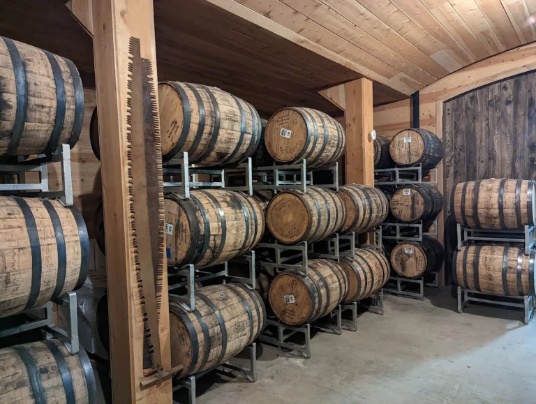
Indigeny Reserve
Sonora
Drive along a secluded tree-lined road, over the covered bridge, and immerse yourself in Indigeny Reserve™. This ciderworks and distillery are on a verdant 160-acre, eco-friendly preserve in Sonora, California.
Read more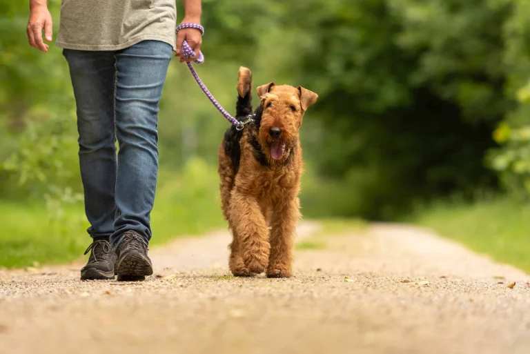
Jackson Hole trail
Oakhurst
The dog-friendly Jackson Hole trail in Fish Camp, located in Yosemite Madera County within the Gold Country region, offers a picturesque outdoor adventure for both you and your furry companion.
Read more
Lewis Creek middle trailhead
Oakhurst
Lewis Creek Trail Middle Trailhead is a dog-friendly hiking area located in Oakhurst, California, in beautiful Mariposa County — the gateway to Yosemite National Park. Rated 4.8/5 on Google (452 reviews).
Read more
Lewis Creek north trailhead
Oakhurst
Lewis Creek Trail North Trailhead is a dog-friendly hiking area located in Oakhurst, California, in beautiful Mariposa County — the gateway to Yosemite National Park. Rated 4.7/5 on Google (70 reviews).
Read more
Lewis Creek south trailhead
Oakhurst
Lewis Creek Trail South Trailhead is a dog-friendly hiking area located in Oakhurst, California, in beautiful Mariposa County — the gateway to Yosemite National Park. Rated 4.7/5 on Google (364 reviews).
Read more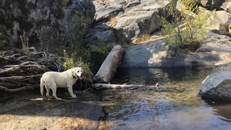
Lewis Creek Trail
Oakhurst
The Lewis Creek National Scenic Trail to Corlieu Falls and Red Rock Falls is a 3.7 mile out and back trail located near Oakhurst that features waterfalls, beautiful spring flora and is rated as moderate.
Read more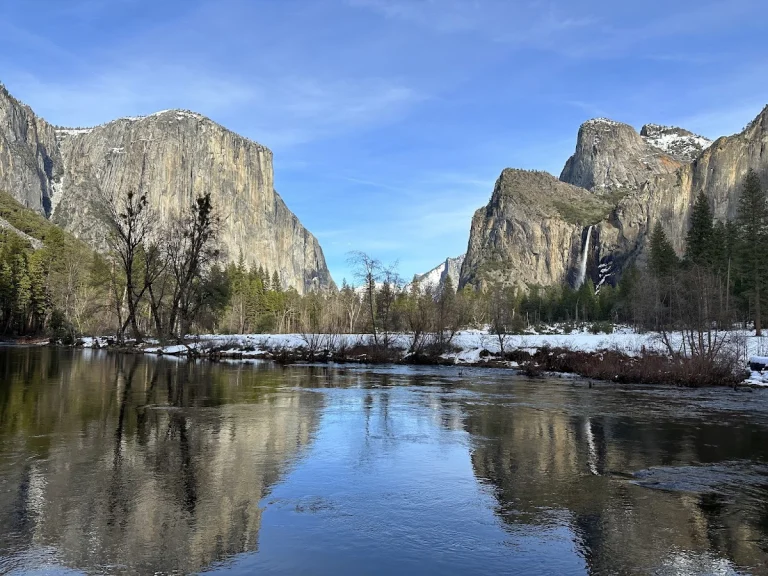
Mirror Lake/Meadow Trail
Yosemite National Park
The Mirror Lake/Meadow Trail in Yosemite National Park offers a picturesque two-mile round-trip hike that typically takes about an hour to complete.
Read more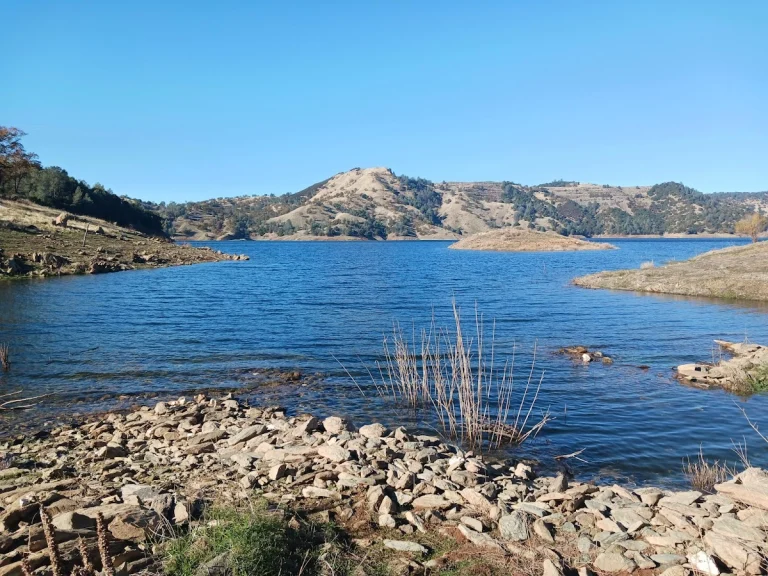
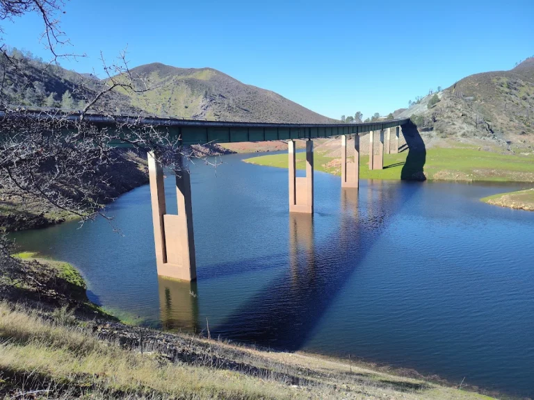
New Melones Lake
Sonora
New Melones Dam and Reservoir are part of the Central Valley Project - New Melones Unit operated by the Bureau of Reclamation, located 60 miles upstream on the Stanislaus River from the confluence of the San Joaquin River.
Read more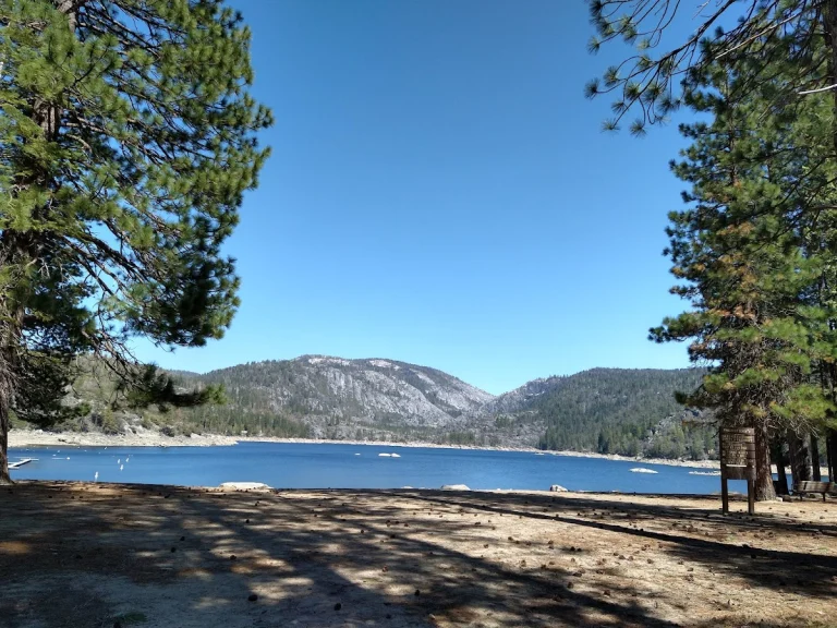
Pinecrest Lake
Pinecrest
Pinecrest Lake National Recreation Trail in Pinecrest, Tuolumne County, offers a picturesque and moderately easy hiking experience for outdoor enthusiasts and their furry companions.
Read more
Summerdale Hike
Fish Camp
Located in Fish Camp, Yosemite Mariposa County, the Summerdale Hike at Tenaya Lodge offers a picturesque adventure for both humans and their furry companions.
Read more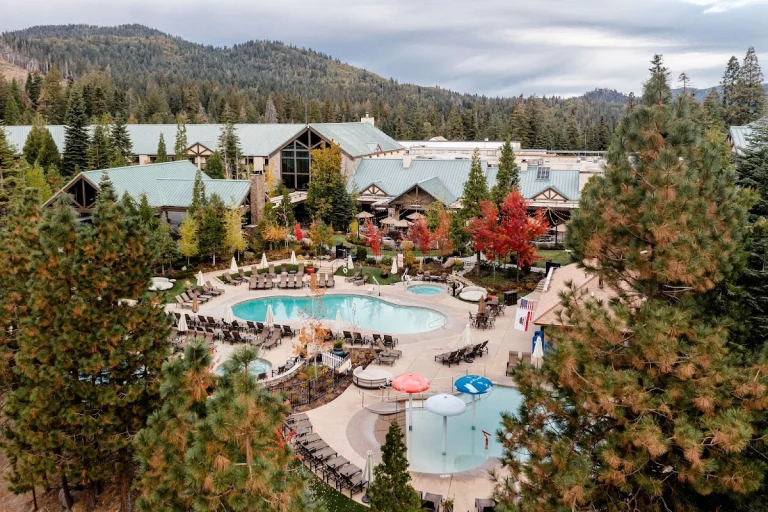
Tenaya Loop Trail
Oakhurst
The Tenaya Loop Trail, located adjacent to Tenaya Lodge in Fish Camp, offers a delightful stroll through nature's beauty. This scenic trail is adorned with vibrant wildflowers, creating a picturesque backdrop for your leisurely walk.
Read more
Trail of the Survivors
Pinecrest
"Trail of the Survivors in Pinecrest, Tuolumne County, is a dog-friendly .25 mile trail that offers a glimpse into the resilience of trees in the Gold Country region.
Read more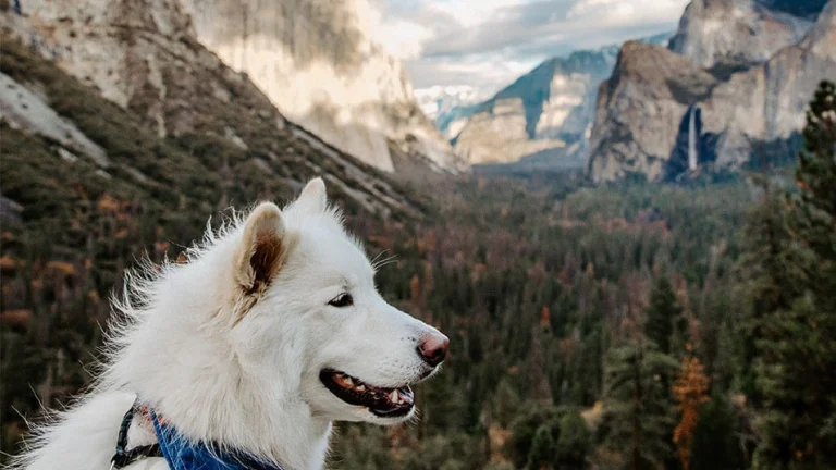
Yosemite National Park
Yosemite National Park
Before you bring your dog to Yosemite National Park, read up on the rules so you won't be disappointed.
Read moreOther hikes
Angel Falls
Bass Lake
Angel Falls is a dog-friendly hiking area located in Bass Lake, California, in beautiful Mariposa County — the gateway to Yosemite National Park. Rated 4.7/5 on Google (73 reviews).
Read moreBriceburg Hike Toward Yosemite
Midpines
Distance: 8 miles round trip Elevation: 1,157 ft Difficulty: Easy Time: 3hrs approx. Begin at: Briceburg Bridge At Briceburg, cross the one-lane-metal-and-wood bridge over the Merced River. Once you have crossed the bridge, turn right and proceed down trail.
Read moreBriceburg Hiking Trail West
Midpines
Distance: 5 miles Elevation: 1,166 ft. Difficulty: Easy Time: 3 hrs.
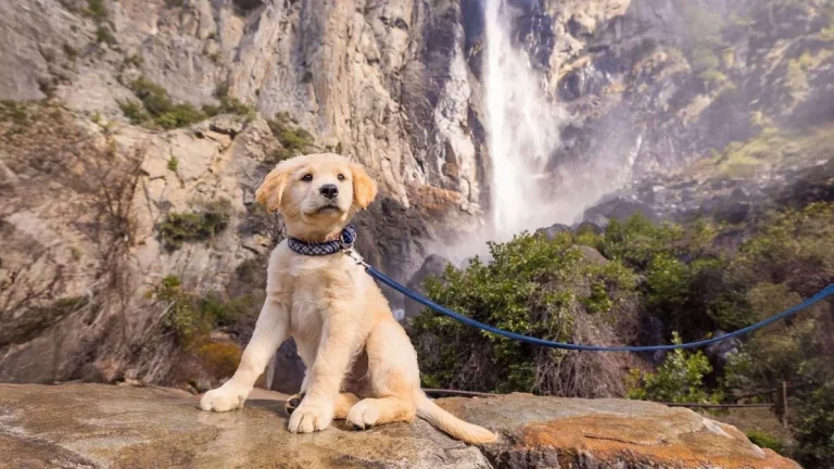
Read moreBridalveil Fall
Yosemite National Park
Plunging 620 feet (189 meters), Bridalveil Fall is often the first waterfall you'll see when entering Yosemite Valley. In spring, it thunders; during the rest of the year, look for its characteristic light, swaying flow.
Read moreChilnualna Falls Trailhead
Wawona
Chilnualna Falls Trailhead is a dog-friendly hiking area located in Wawona, California, in beautiful Mariposa County — the gateway to Yosemite National Park. Rated 4.8/5 on Google (179 reviews).
Read moreChowchilla Mountain Road Trail
Mariposa
In Mariposa County, just a stone's throw from Yosemite National Park, lies the picturesque Chowchilla Mountain Road Trail. This hidden gem offers a serene escape for outdoor enthusiasts and their furry companions.
Read moreCook’s Meadow Loop
Yosemite National Park
Cook's Meadow Loop in Yosemite National Park is a picturesque one-mile trail that offers stunning views of Half Dome, Glacier Point, and Royal Arches.
Read moreDragoon Gulch Trail
Sonora
The relatively new Dragoon Gulch Trail system was built with the help of many individuals and agencies. Starting at Woods Creek Park, the trail system creates a 2.5-mile loop.
Read moreGlacier Point
Yosemite Valley
Glacier Point, an overlook with a commanding view of Yosemite Valley, Half Dome, Yosemite Falls, and Yosemite’s high country, is accessible by car from approximately late May through October/November.
Read moreHite Cove Trail
El Portal
The Hite Cove Trail, a 3.5-mile (one way) hike along the South Fork of the Merced River, is a must-visit destination in El Portal, Yosemite Mariposa County.
Read moreLower Yosemite Falls Trailhead
Mariposa
Water falls from 2,425 feet at this natural wonder in Yosemite National Park. Lower Yosemite Falls Trailhead is a dog-friendly hiking area located in TUOLUMNE MEADOWS, California, in beautiful Mariposa County — the gateway to Yosemite National Park.
Read moreMariposa Grove trailhead
Mariposa
Mariposa Grove Arrival Area Trailhead is a dog-friendly hiking area located in Mariposa, California, in beautiful Mariposa County — the gateway to Yosemite National Park. Rated 4.9/5 on Google (16 reviews).
Read moreMerced River
Midpines
Merced River/ North Fork Trailhead is a dog-friendly hiking area located in Midpines, California, in beautiful Mariposa County — the gateway to Yosemite National Park. Rated 4.8/5 on Google (12 reviews).
Read moreMerced River Trail
Briceberg
The Merced River Trail and Recreation Area is about 12 miles north of Mariposa and near the entrance to Yosemite National Park. It provides overflow or alternative camping for park visitors, as well as a beautiful setting for river enthusiasts.
Read moreMerced River Trail
Mariposa
Merced River Trail is a dog-friendly hiking area located in Mariposa, California, in beautiful Mariposa County — the gateway to Yosemite National Park. Rated 4.7/5 on Google (20 reviews).
Read moreMt Williams trail head
Mariposa
Mt Williams trail head is a dog-friendly hiking area located in Mariposa, California, in beautiful Mariposa County — the gateway to Yosemite National Park. Rated 4.8/5 on Google (5 reviews).
Read morePreston Falls Trail
Groveland
With only 300 feet of elevation variation, this4.4-mile trail along the north side of the Tuolumne River is rated easy, although making a round trip of it requires a full day.
Read moreStockton Creek trailhead
Mariposa
Stockton Creek Reservoir Trailhead is a dog-friendly hiking area located in Mariposa, California, in beautiful Mariposa County — the gateway to Yosemite National Park. Rated 4.6/5 on Google (30 reviews).
Read moreTuolumne Grove Trailhead
Mariposa
Popular hiking trail featuring a low-key 2.5-mi. descent amid massive, pass-through sequoia trees. Tuolumne Grove Trailhead is a dog-friendly hiking area located in TUOLUMNE MEADOWS, California, in beautiful Mariposa County — the gateway to Yosemite National Park.
Read moreTuolumne River Canyon Trail
Groveland
The Tuolumne River Canyon Trail in Groveland, Tuolumne County, is a six-mile moderate hike that meanders along the south side of the Tuolumne River, offering breathtaking views and a chance to witness stunning spring wildflower displays.
Read moreWawona Meadow Loop Trailhead
Mariposa
Gentle, 3.5-mile loop along a dirt fire road winding through trees & a wildflower-filled meadow. Wawona Meadow Loop Trailhead is a dog-friendly hiking area located in TUOLUMNE MEADOWS, California, in beautiful Mariposa County — the gateway to Yosemite National Park.
Read moreWestside Trail
Tuolumne
The Westside Trail, located in Tuolumne County within the Gold Country region, is a historic gem that was once a narrow-gauge railway used by the West Side Lumber Company.
Read moreWillow Creek Trailhead
Bass Lake
Willow Creek Trailhead is a dog-friendly hiking area located in Bass Lake, California, in beautiful Mariposa County — the gateway to Yosemite National Park. Rated 4.6/5 on Google (411 reviews).
Read moreYosemite Mountain Trail Lodge
Oakhurst
Situated in the picturesque town of Oakhurst in Yosemite Madera County, Yosemite Mountain Trail Lodge offers a serene retreat for travelers exploring the Gold Country region.
Read moreMore Adventures in Yosemite Region
Dog-friendly trails and outdoor adventures near Yosemite this spring
If your dog measures joy in miles, spring in Yosemite Mariposa County delivers. Dog-friendly trails inside the Valley and throughout nearby national forest lands offer space to roam beneath towering granite cliffs and whispering pines. Visit midweek for open trailheads…
Read more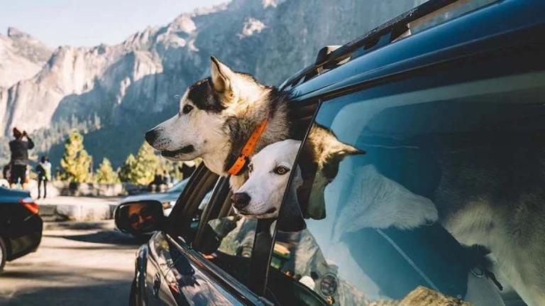
ARE DOGS ALLOWED IN YOSEMITE? WHAT TO KNOW BEFORE YOU GO.
There’s no place like Yosemite Mariposa County in spring, especially when you’re joined by your favorite four-legged friend.
Read more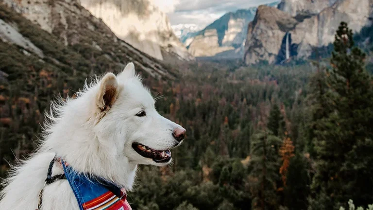
Autumn-friendly things to do with your pets in Yosemite Mariposa
The Yosemite Mariposa County region offers an adventure-filled autumn vacation not just for humans but for their four-legged companions as well.
Read more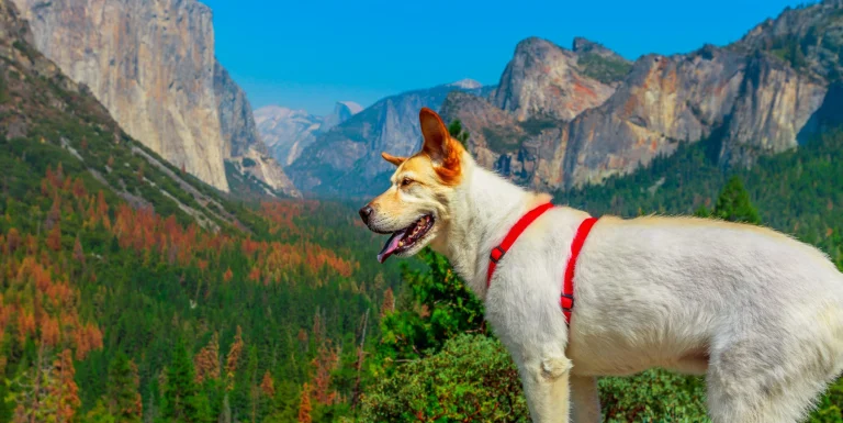
Bringing your dog to Yosemite: the complete 2026 guide
Yes, you can bring your dog to Yosemite. Full trail list (Valley, Wawona, Glacier Point), where to stay in Mariposa County, B.A.R.K. Ranger program, shuttle rules, FAQ. Updated 2026 by the DogTrekker editorial team.
Read more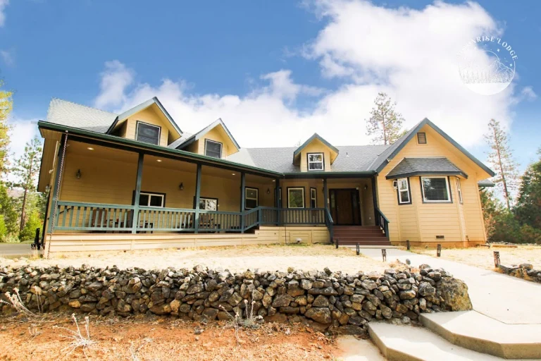
17 dog-friendly vacation rentals near Yosemite
17 dog-friendly vacation rentals near Yosemite, from Coulterville to Wawona, drawn from DogTrekker's directory of vetted pet-welcoming properties.
Read more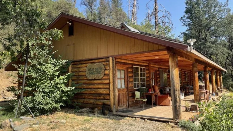
9 dog-friendly cabins near Yosemite
9 dog-friendly cabins near Yosemite, from Fish Camp to Yosemite West, drawn from DogTrekker's directory of vetted pet-welcoming properties.
Read more